Middle East from Above
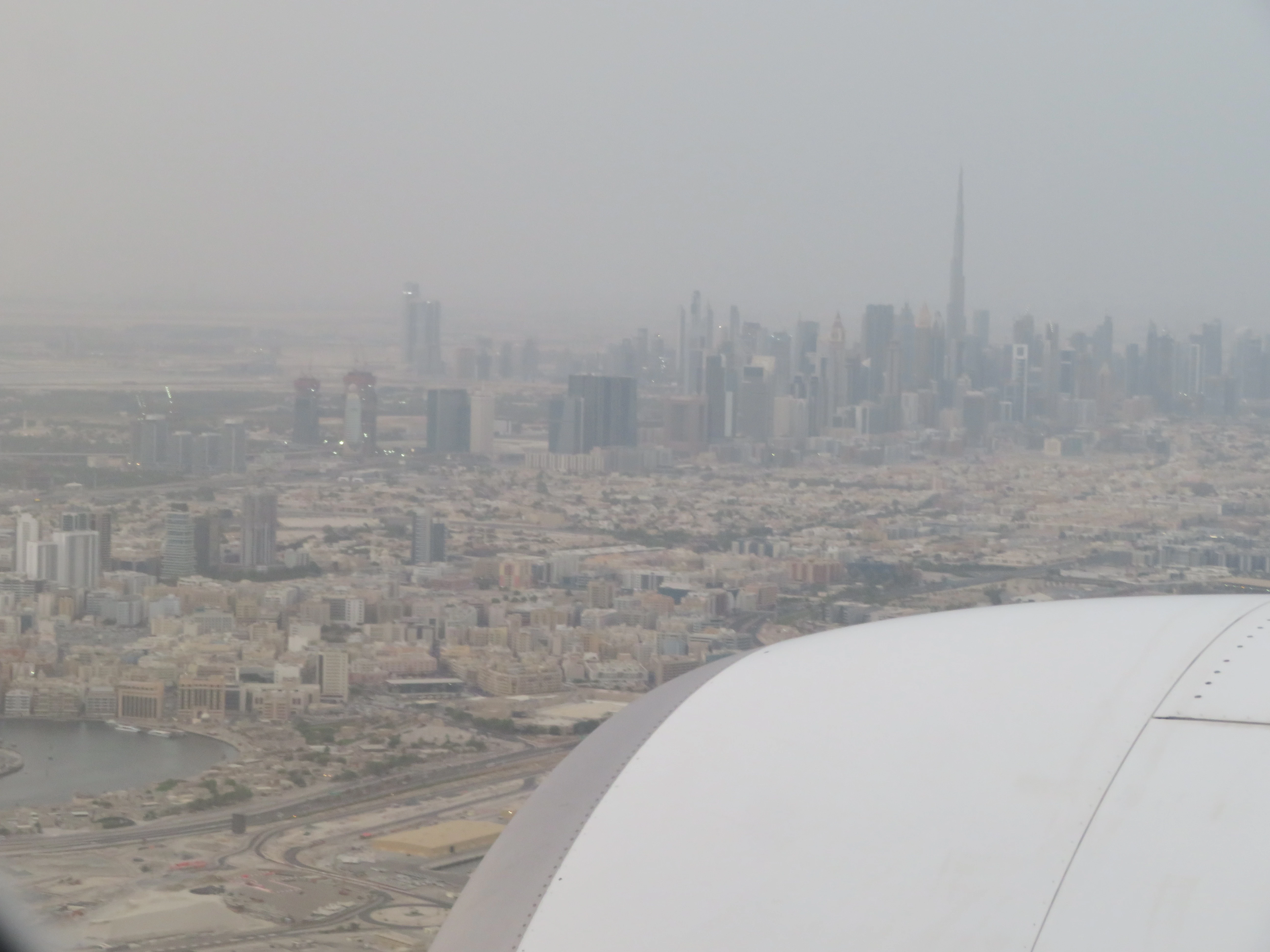
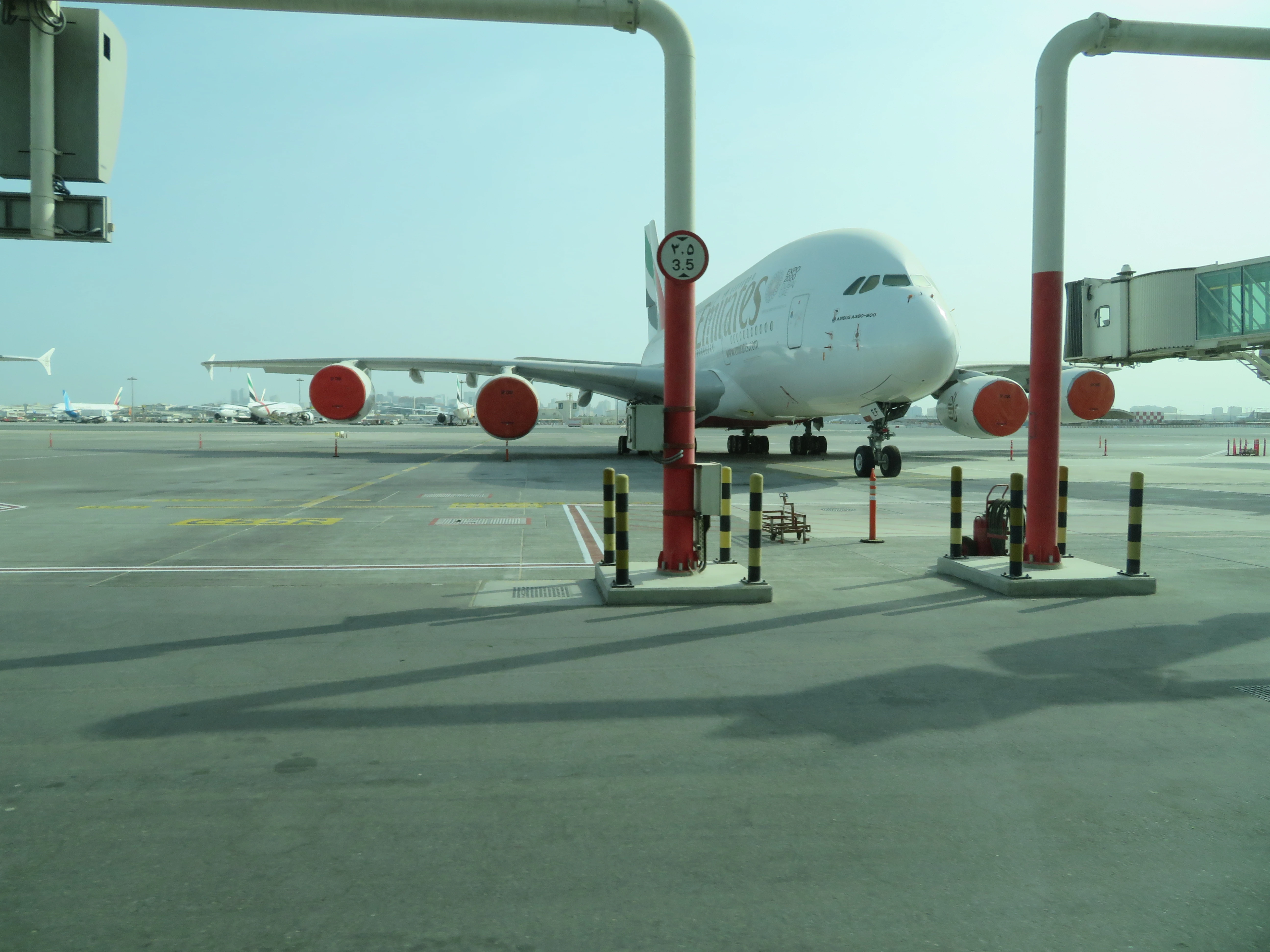
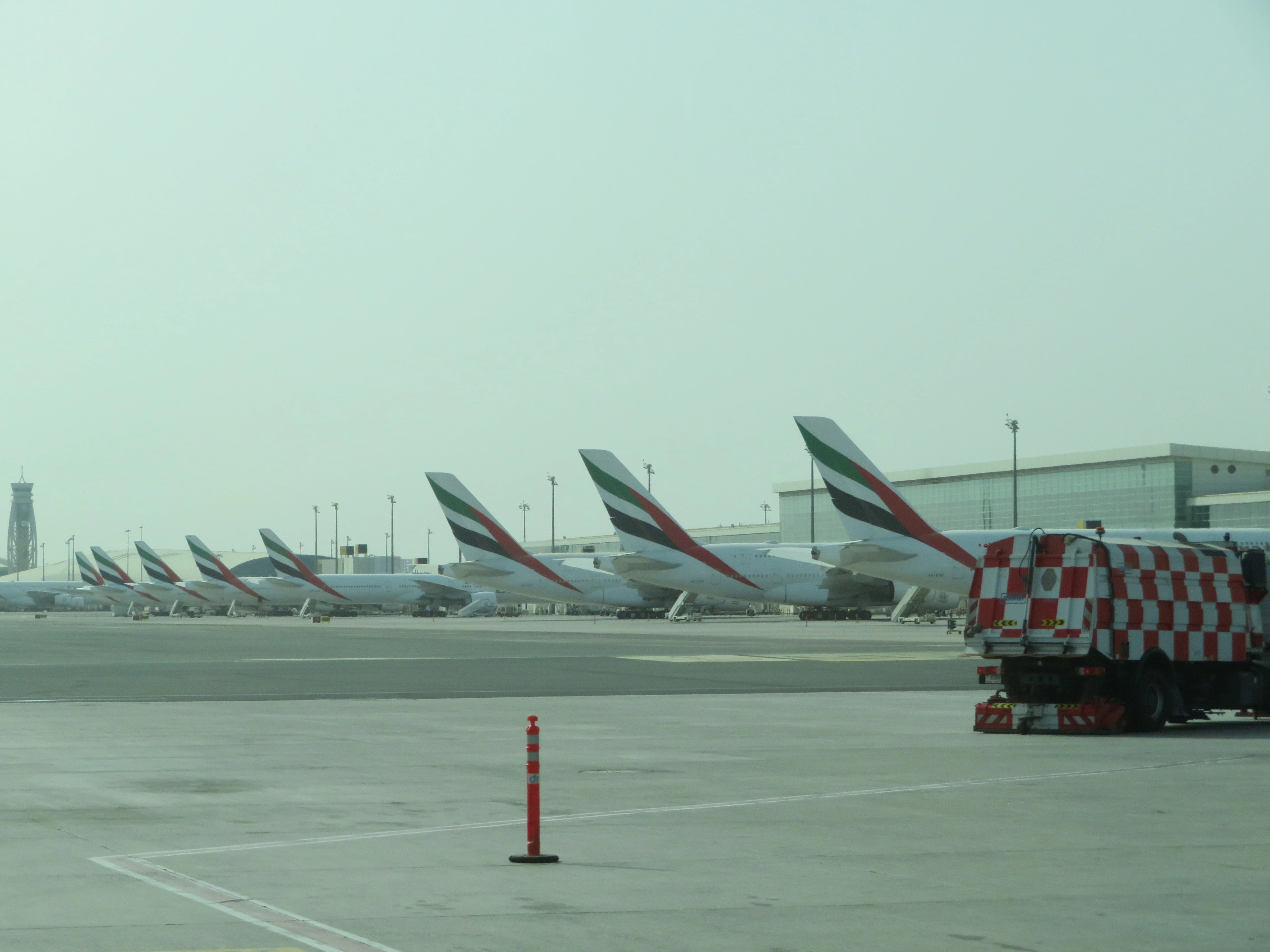
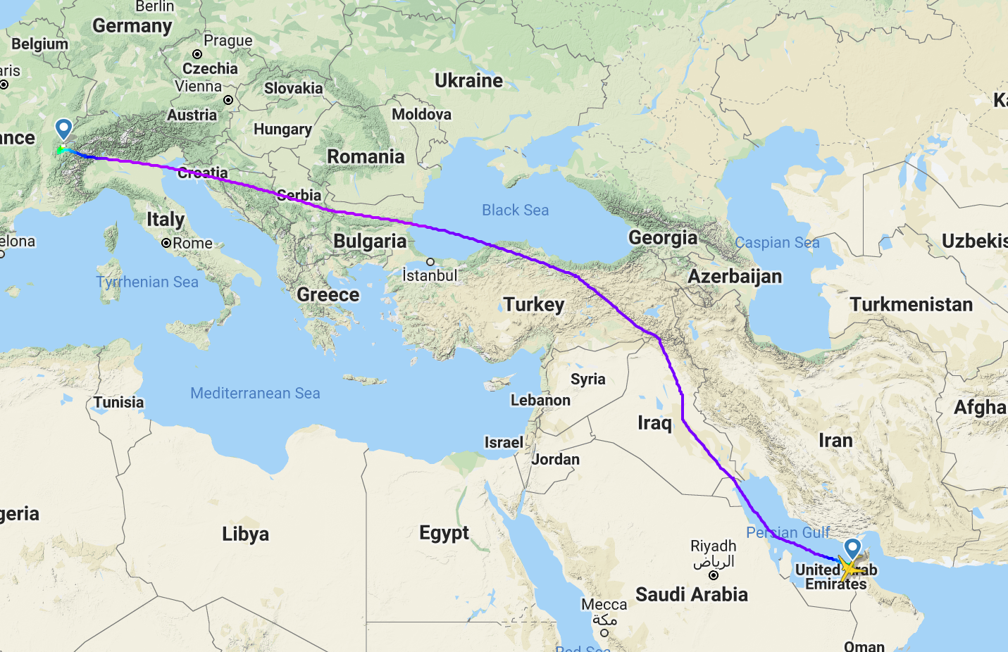
I took these photos while travelling from Pakistan to Switzerland. I flew through Emirates and had to change my flight at Dubai (this allowed me to take some closeups of the metropolis).
The flight route included these countries:
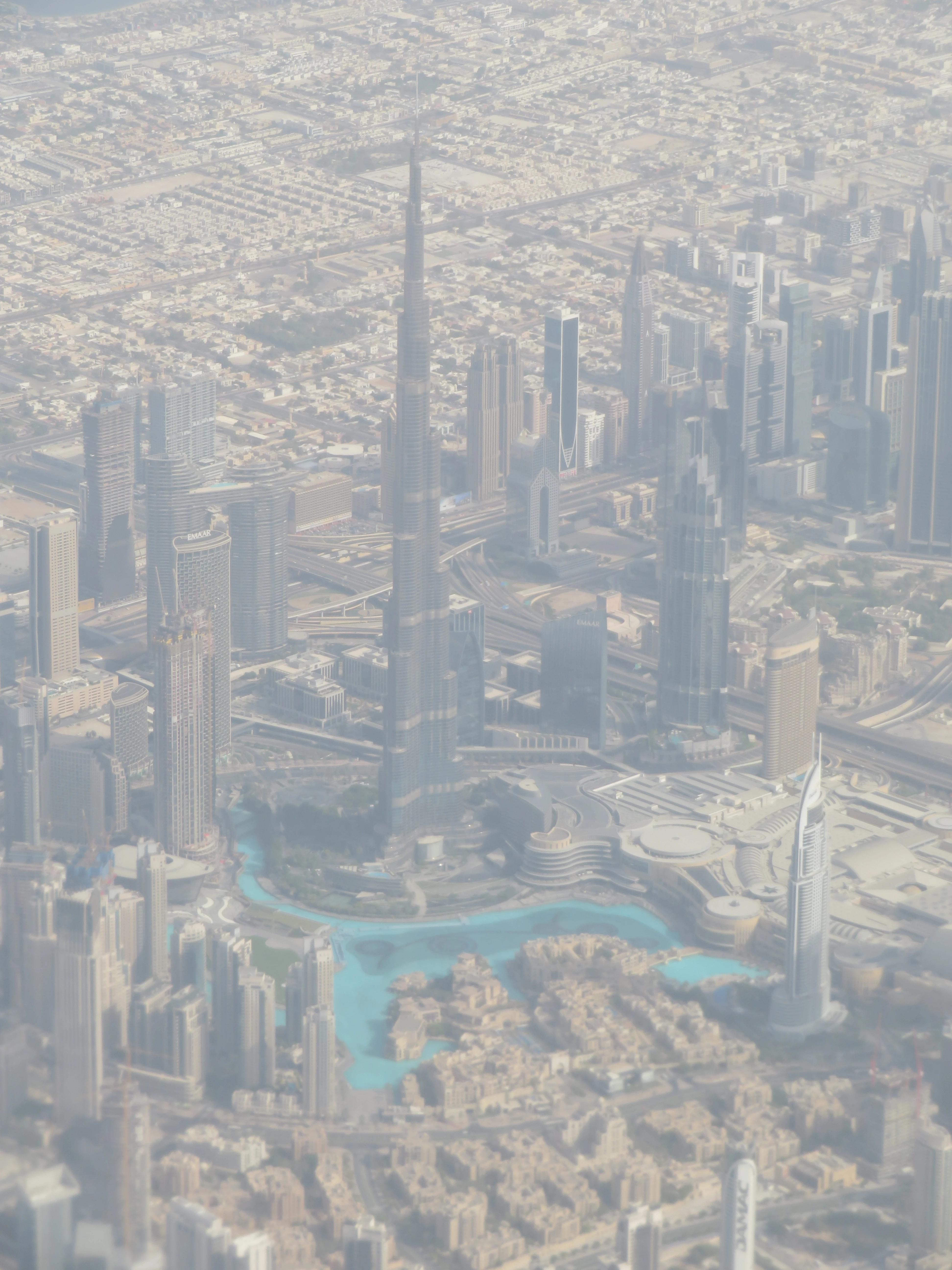
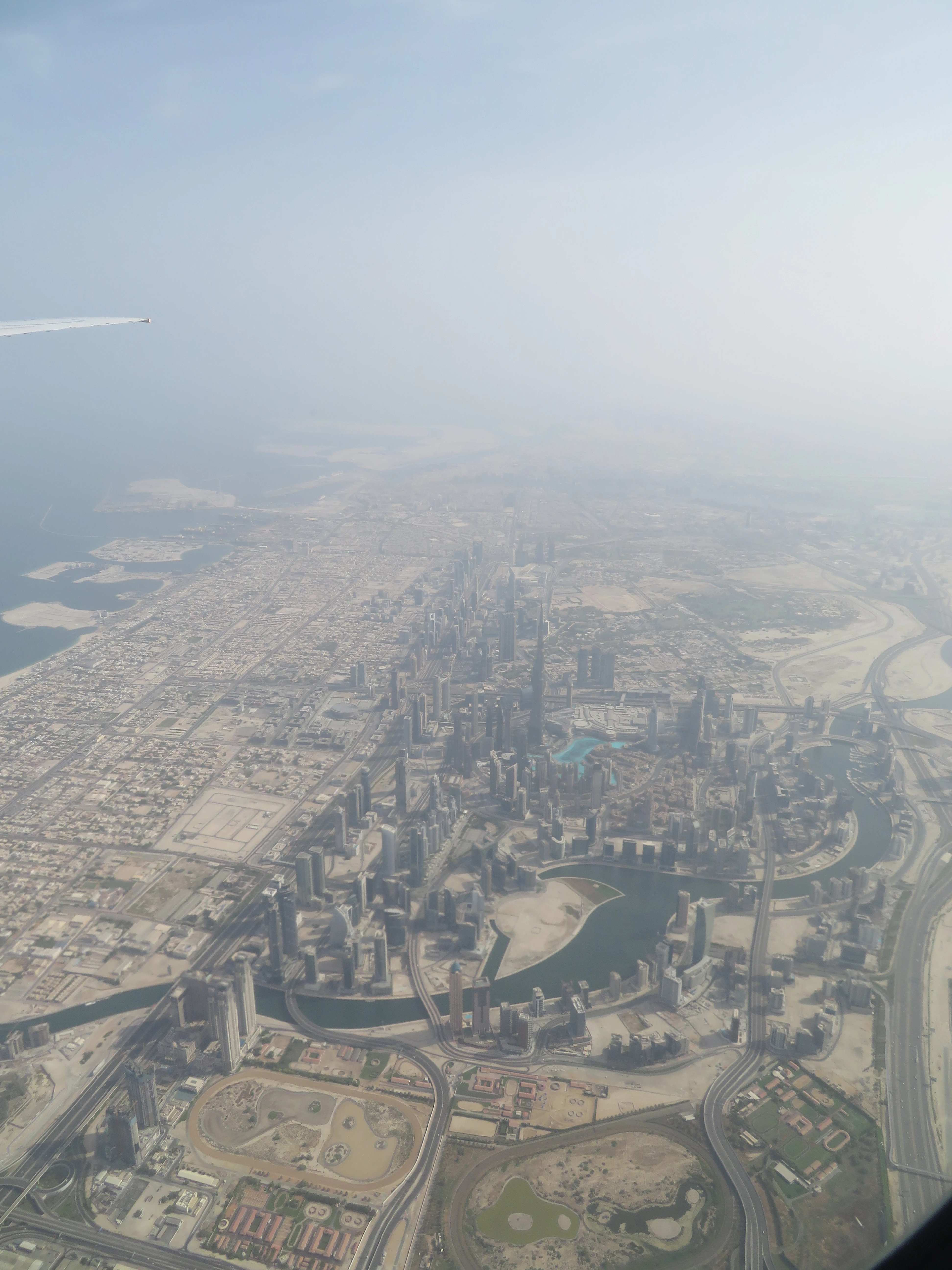
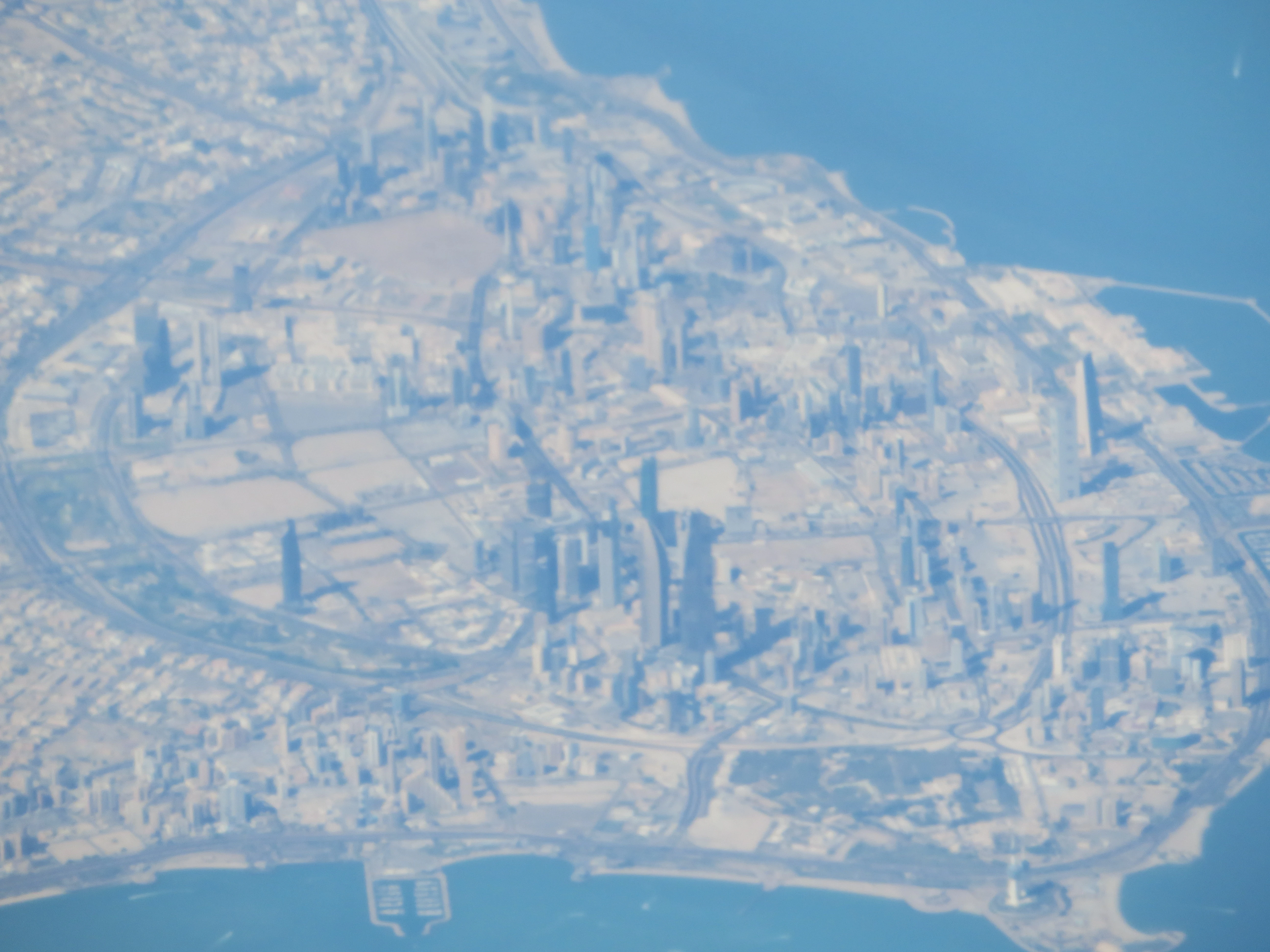
Since we took off from Dubai, I could take some closeups of the metropolis.
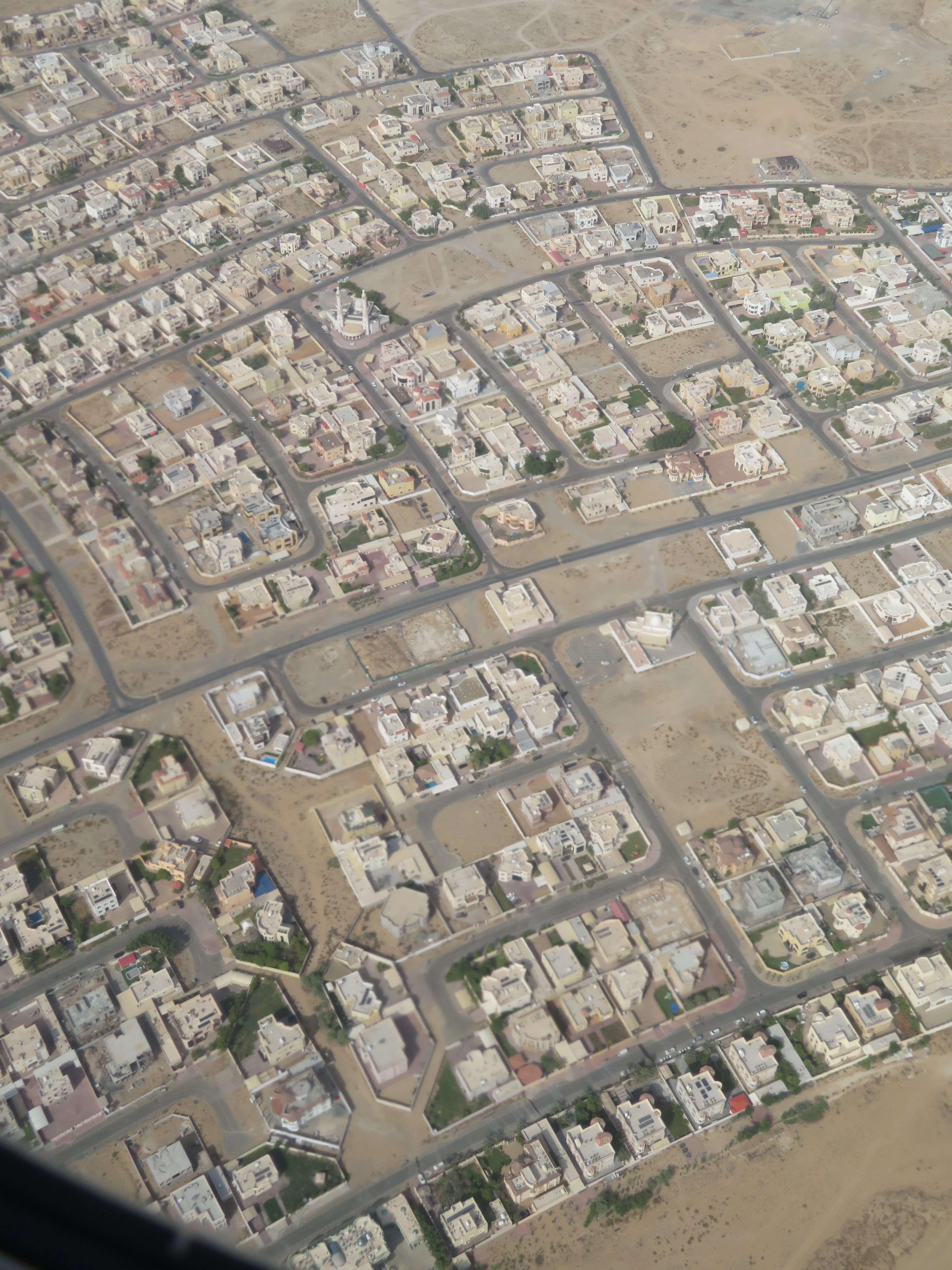
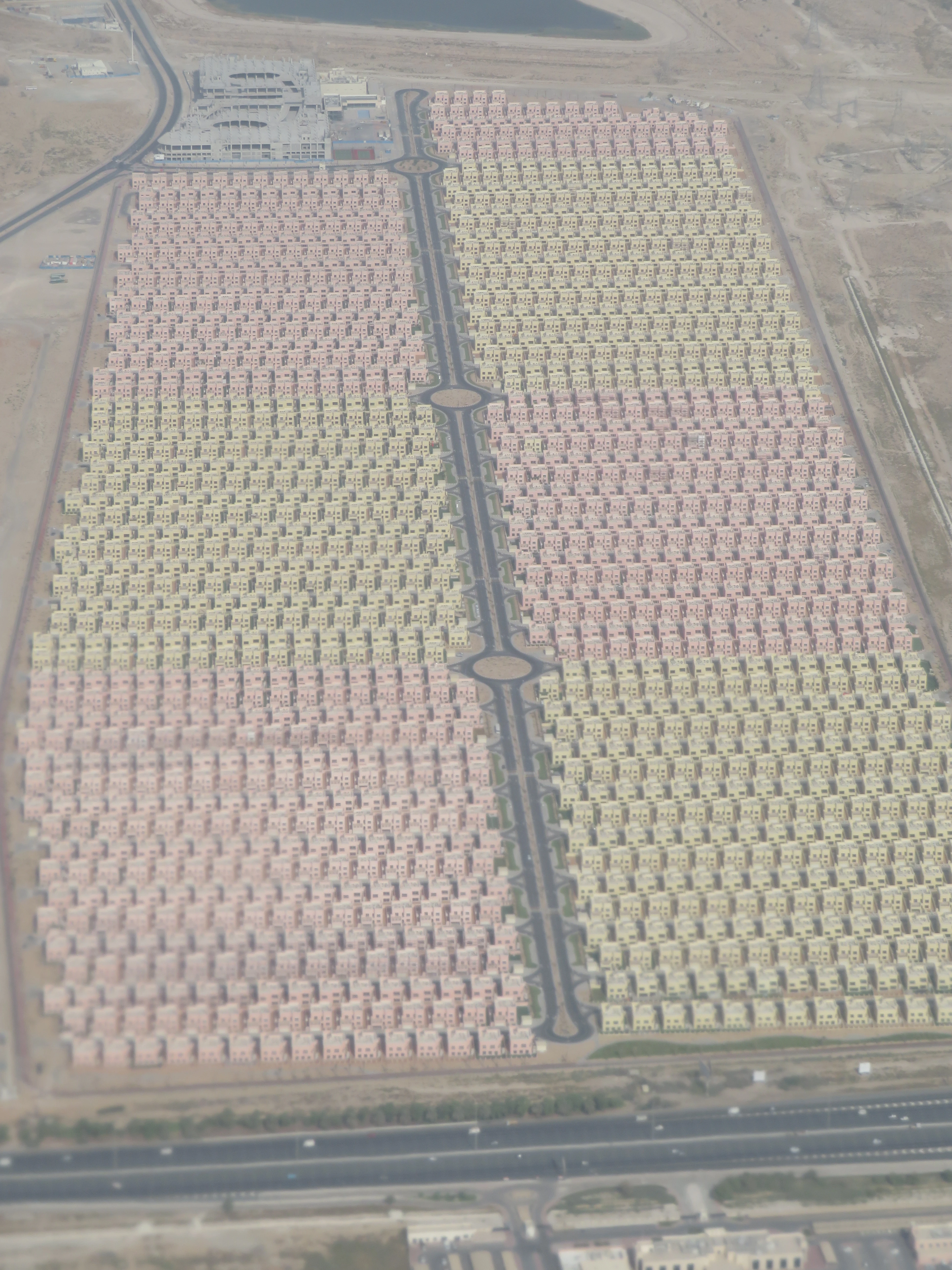
These bizzare housing quarters caught my eye. Hundreds and hundreds of clone houses stacked besides each other. I really liked how they alternated the colours.
Since the airplane was almost empty, I could easily alternate between both sides to take pictures.
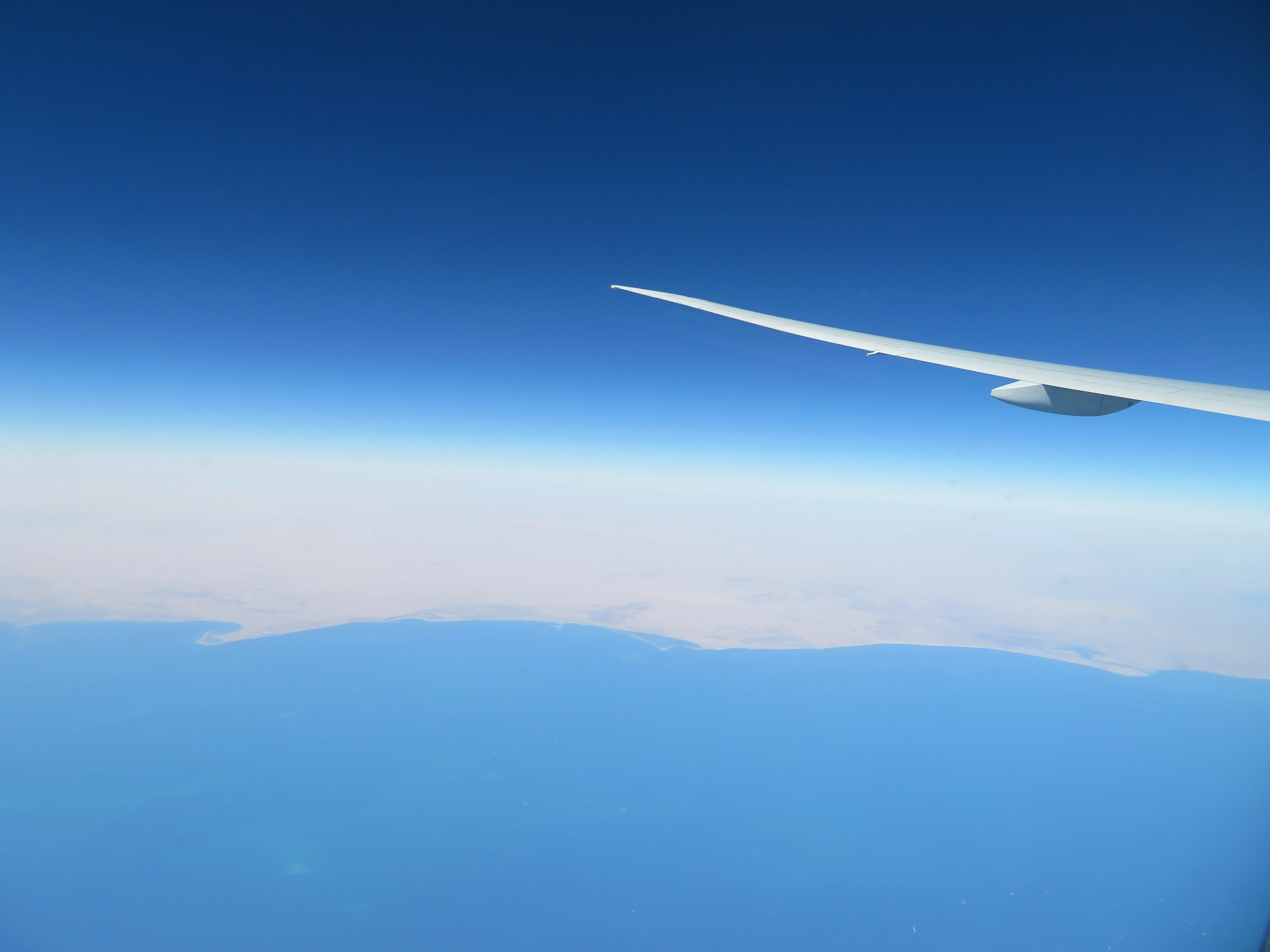
We flew above the Persian gulf on our first strand of the journey. I briefly saw the port of Qatar, before flying close to the seashore of Saudi Arabia. I tried hard to locate the seashore of Iran, but was only able to see a faint glimpse before it disappeared.
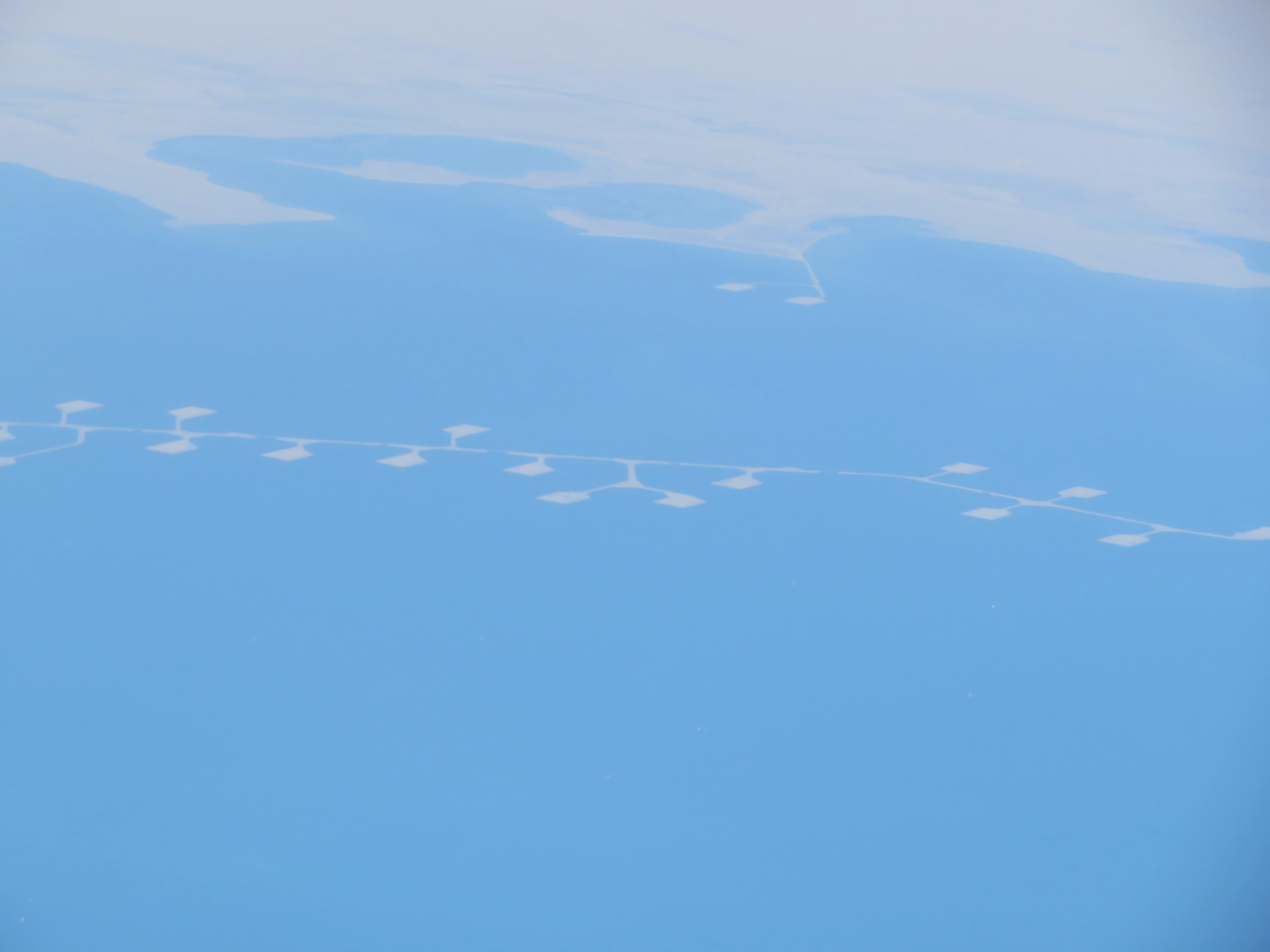
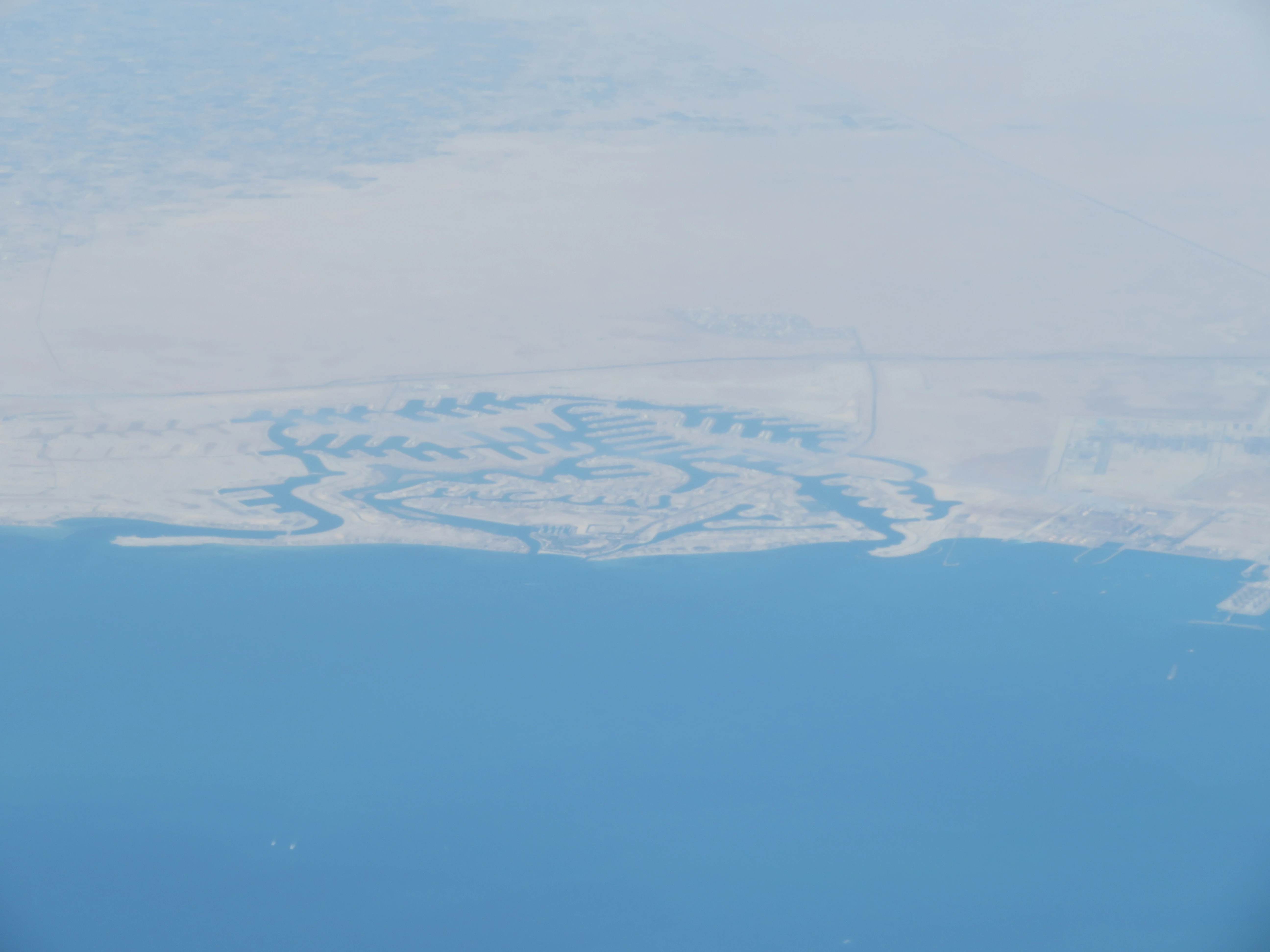
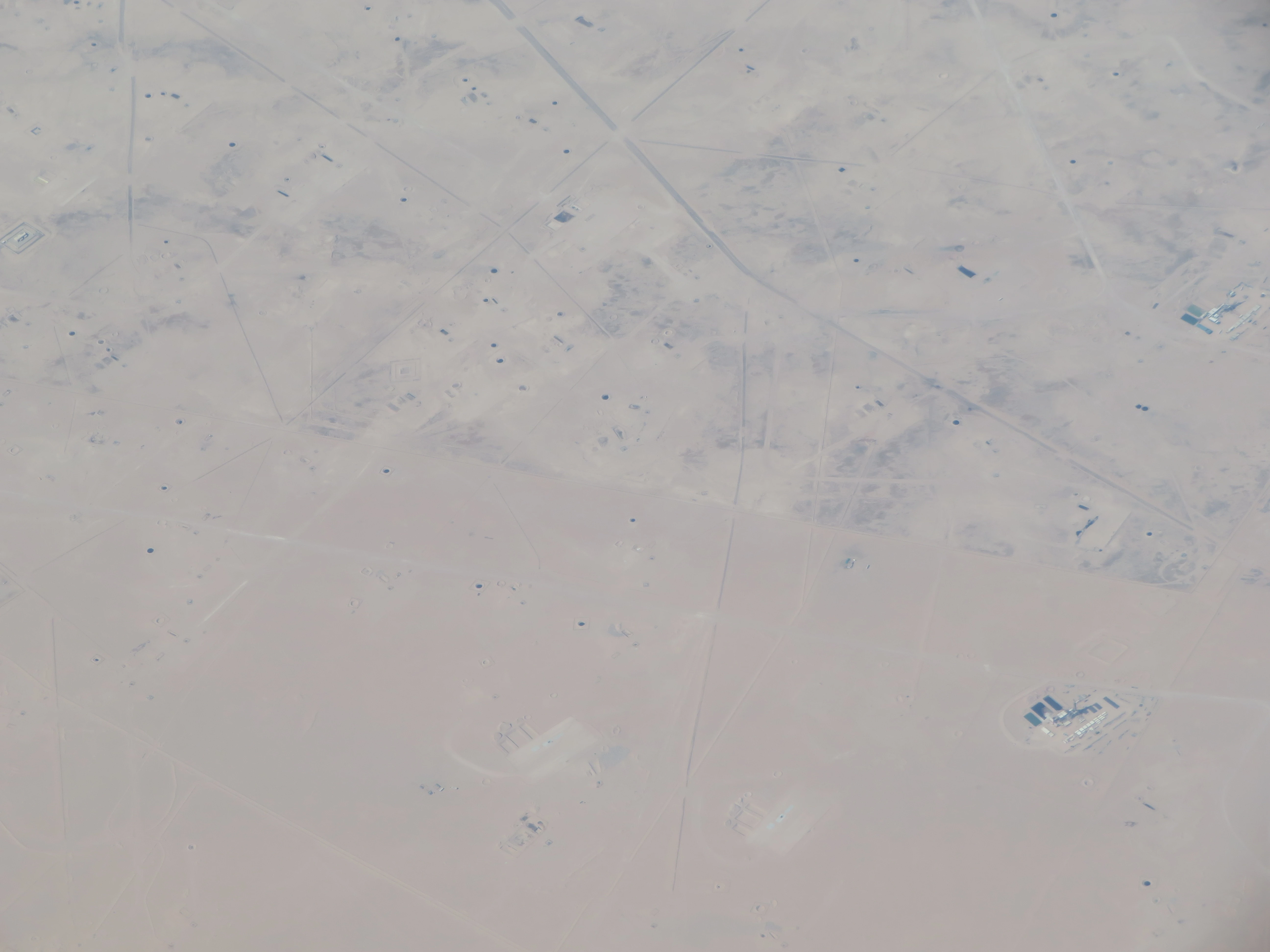
I saw quite a few of these on the shore of Saudi Arabia. They might have something to do with water desalination.
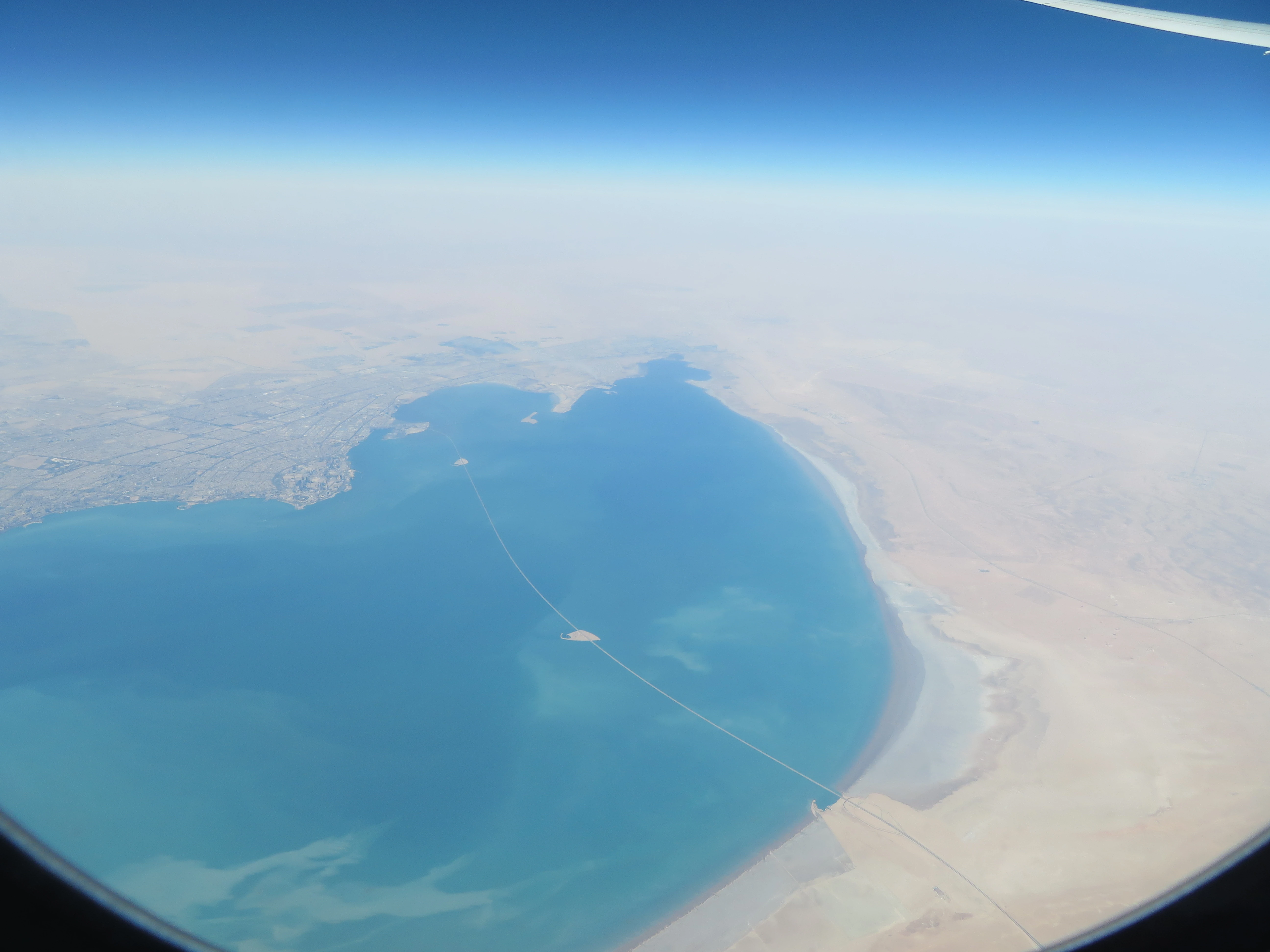
Shortly after we entered the airspace of Kuwait. The massive bridge below is called the Sheikh Jaber Al-Ahmad Al-Sabah Causeway which connects Kuwait city with the outer region. It is the fourth longest road bridge in the world with a length of 36.14 km.
The thin line below is the Kuwait-Iraq border. It was quite strange to see the contrast between a desert and a (somewhat) developed region.
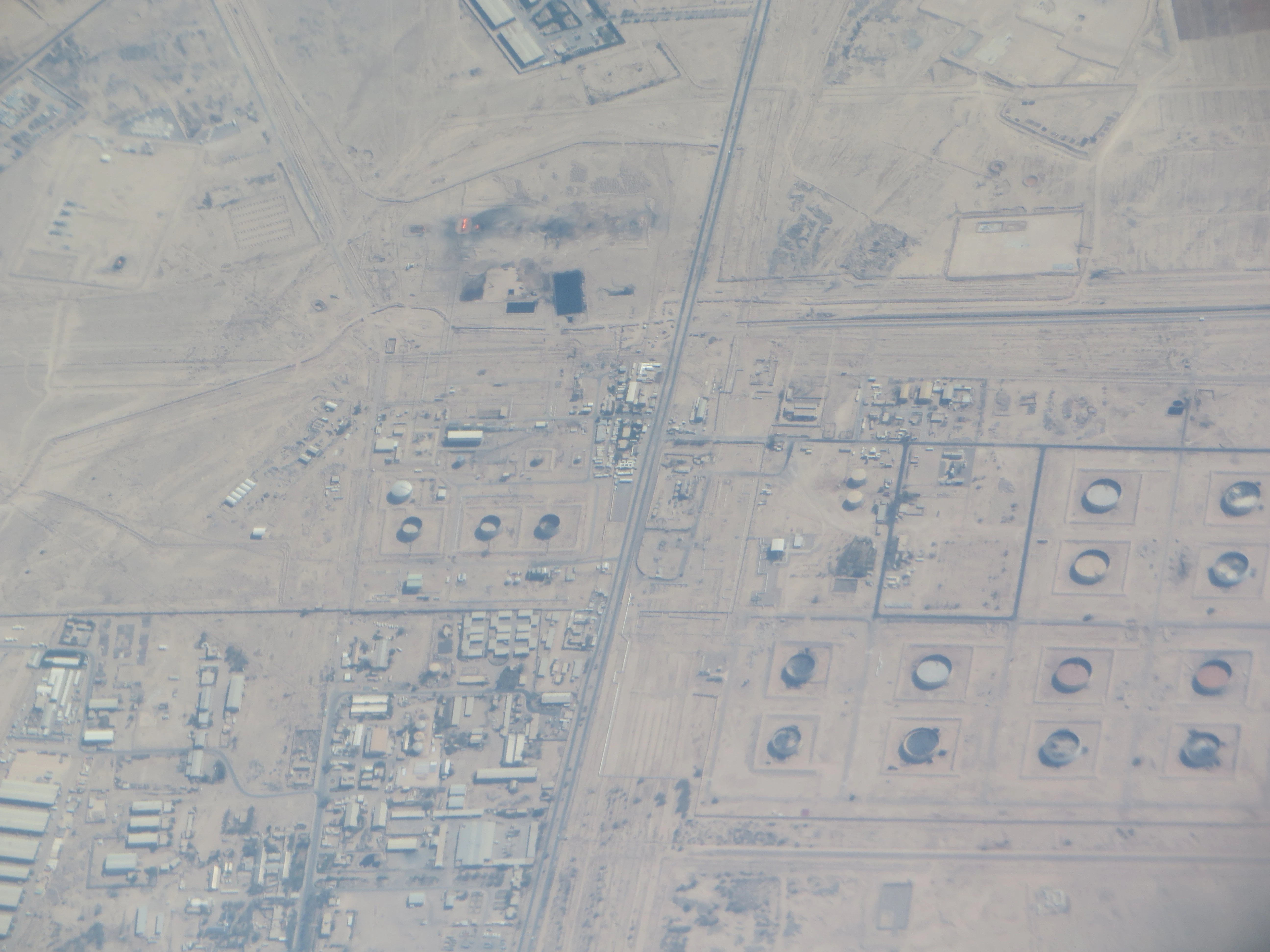
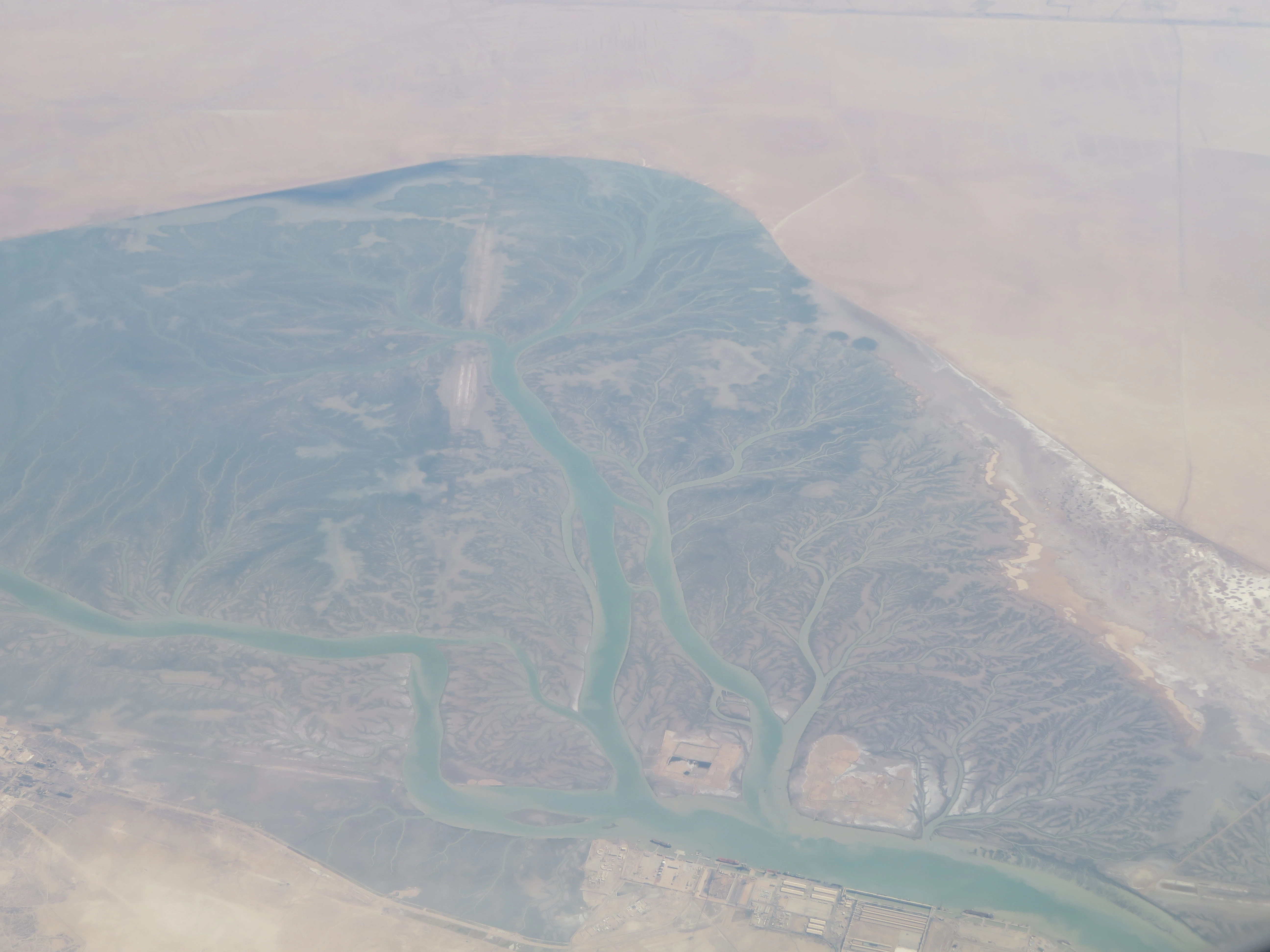
We then flew above Iraq. Although this region was quite dry, I saw this beautiful oasis in the midst of the desert.
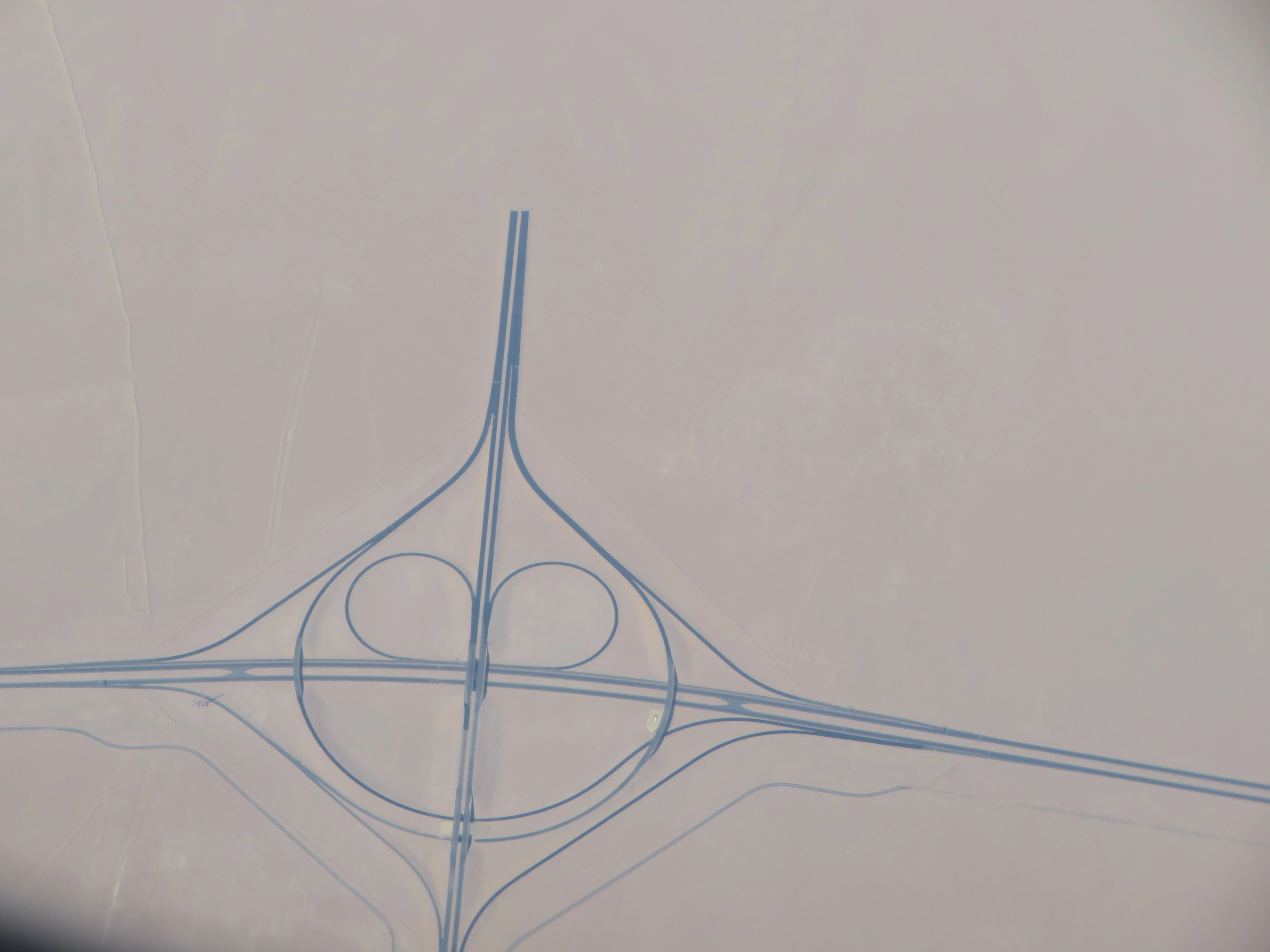
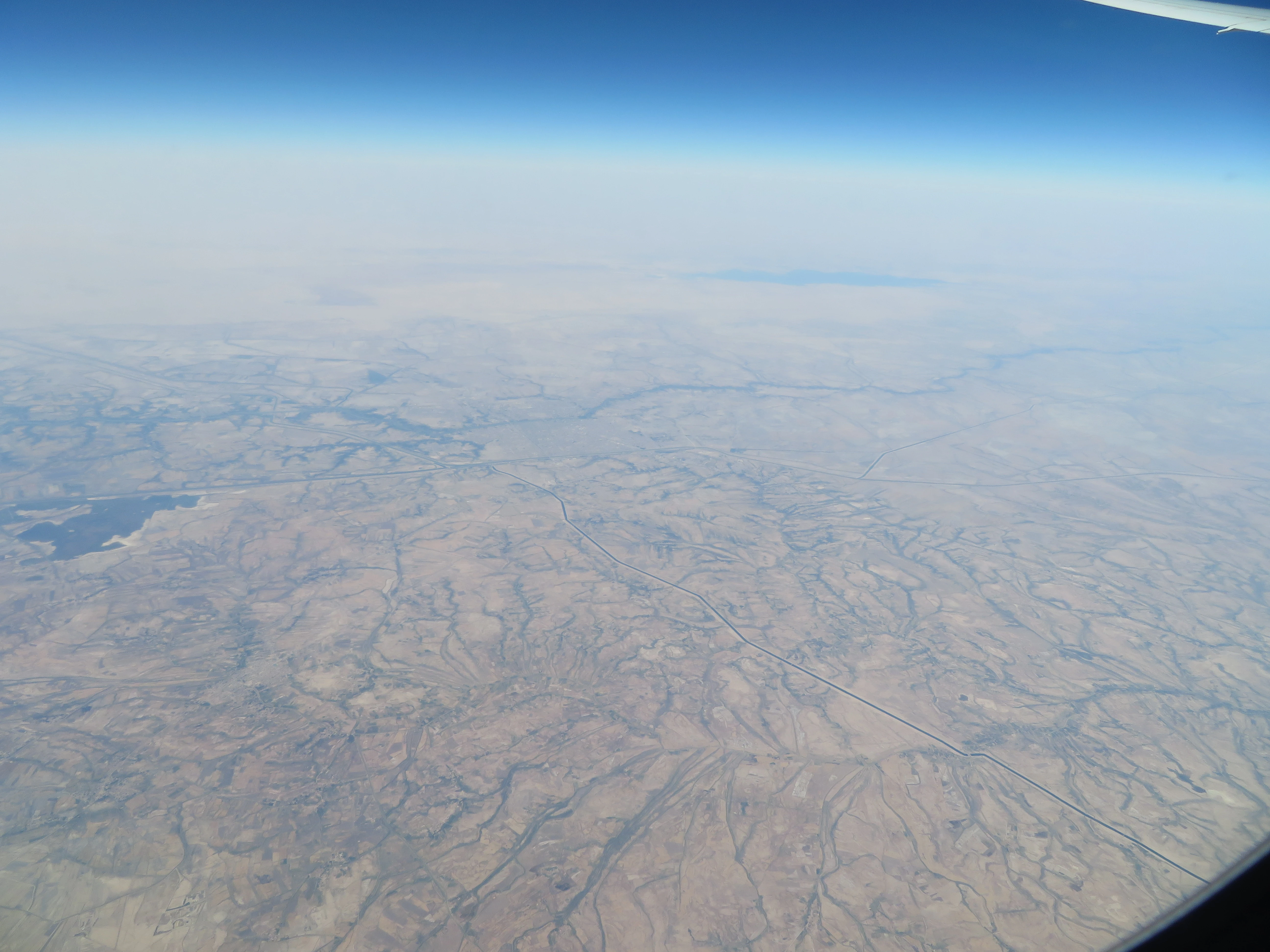
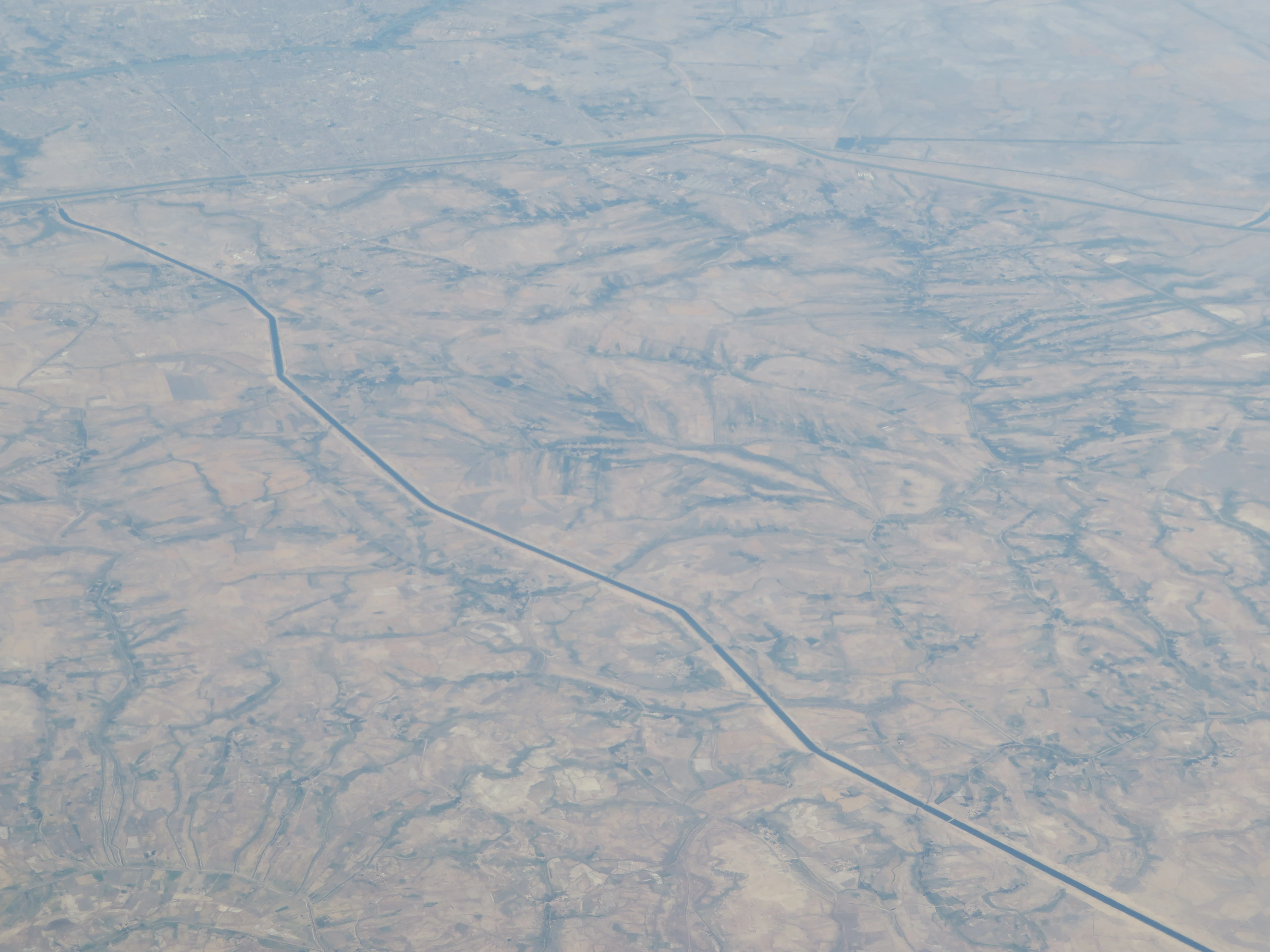
I was quite surprised by the road network of Iraq. For instance, this road ran for several miles in the midst of an unpopulated region.
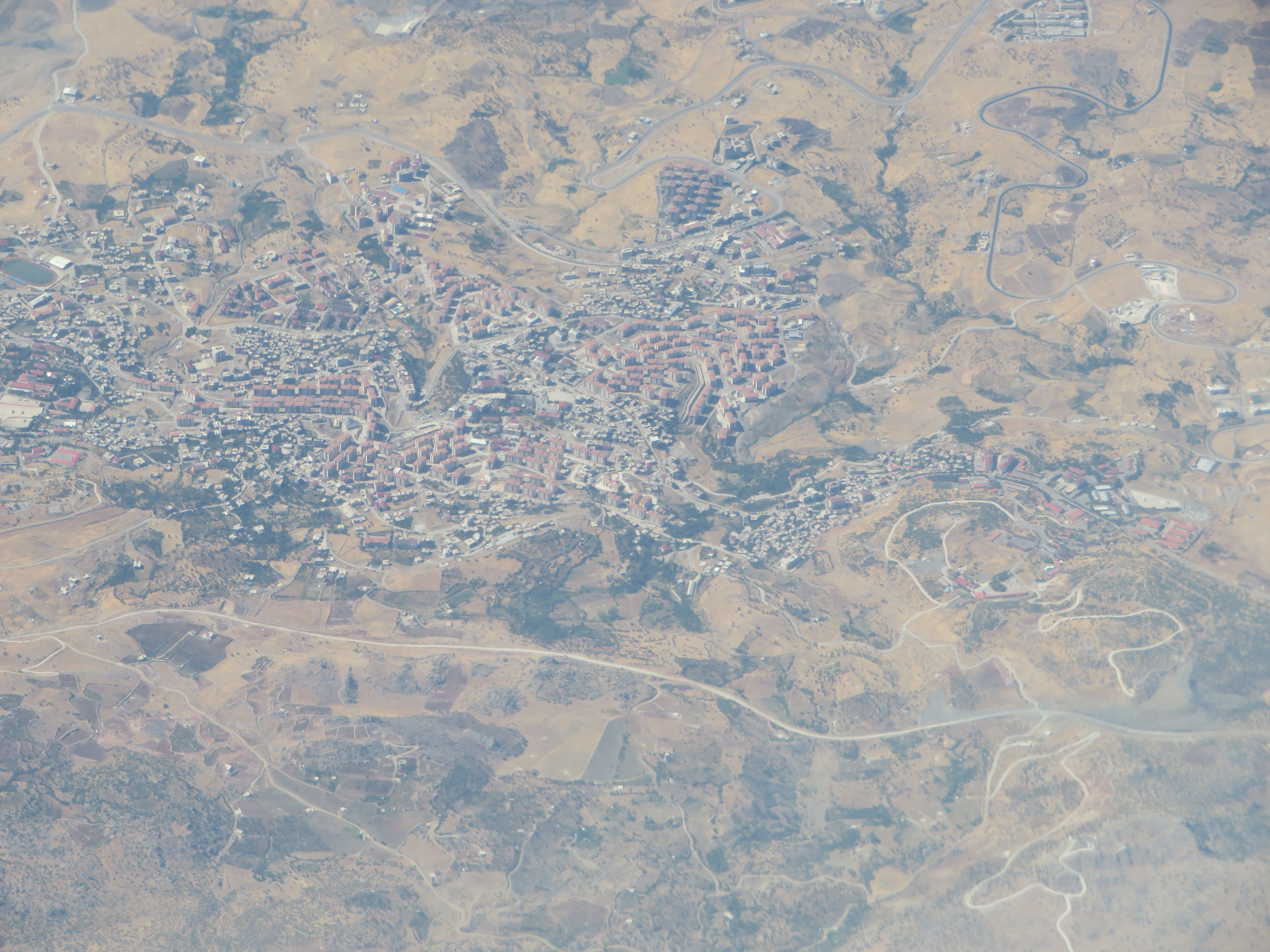
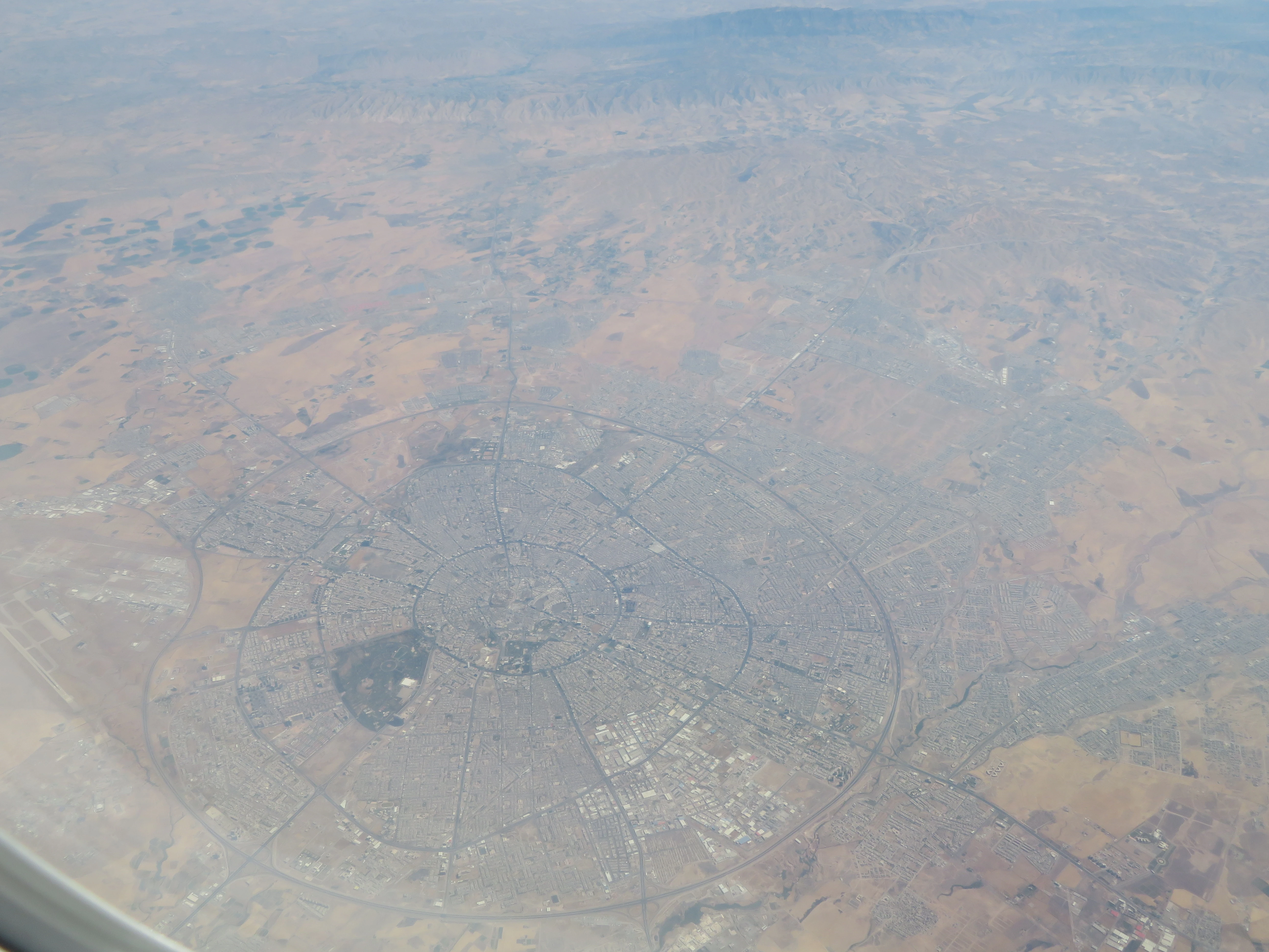
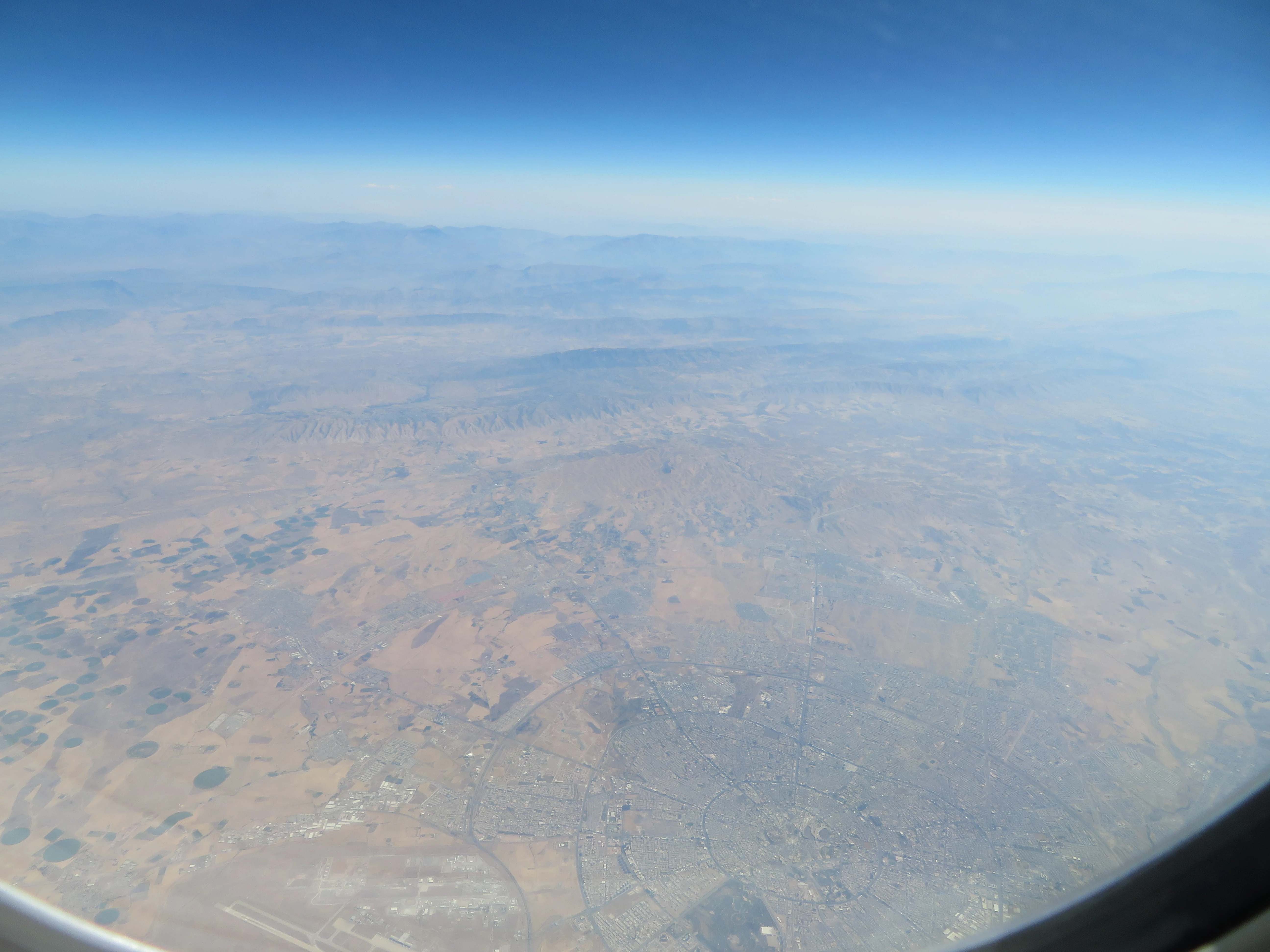
This city was in the north of Baghdad and seemed very well-planned.
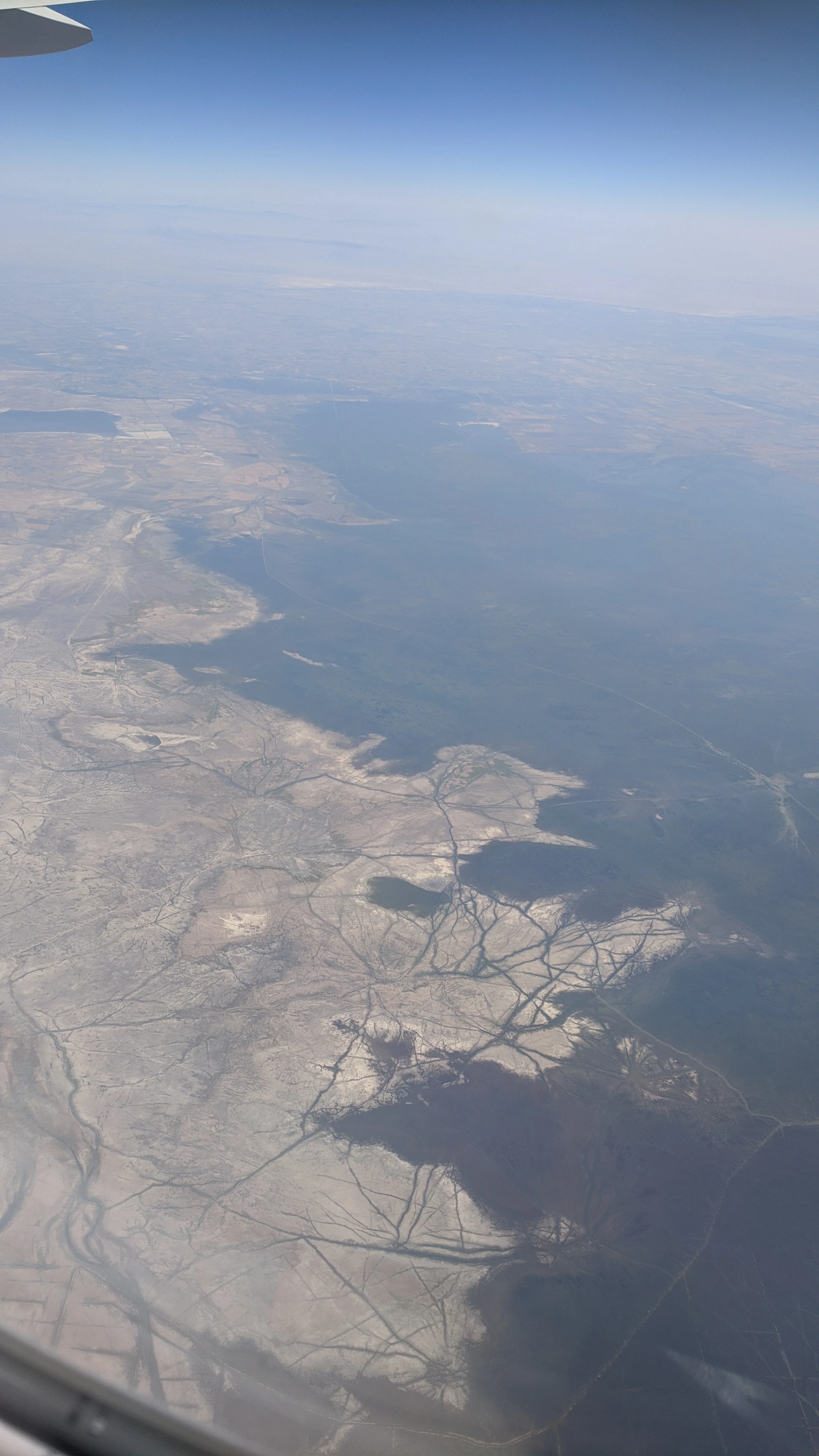
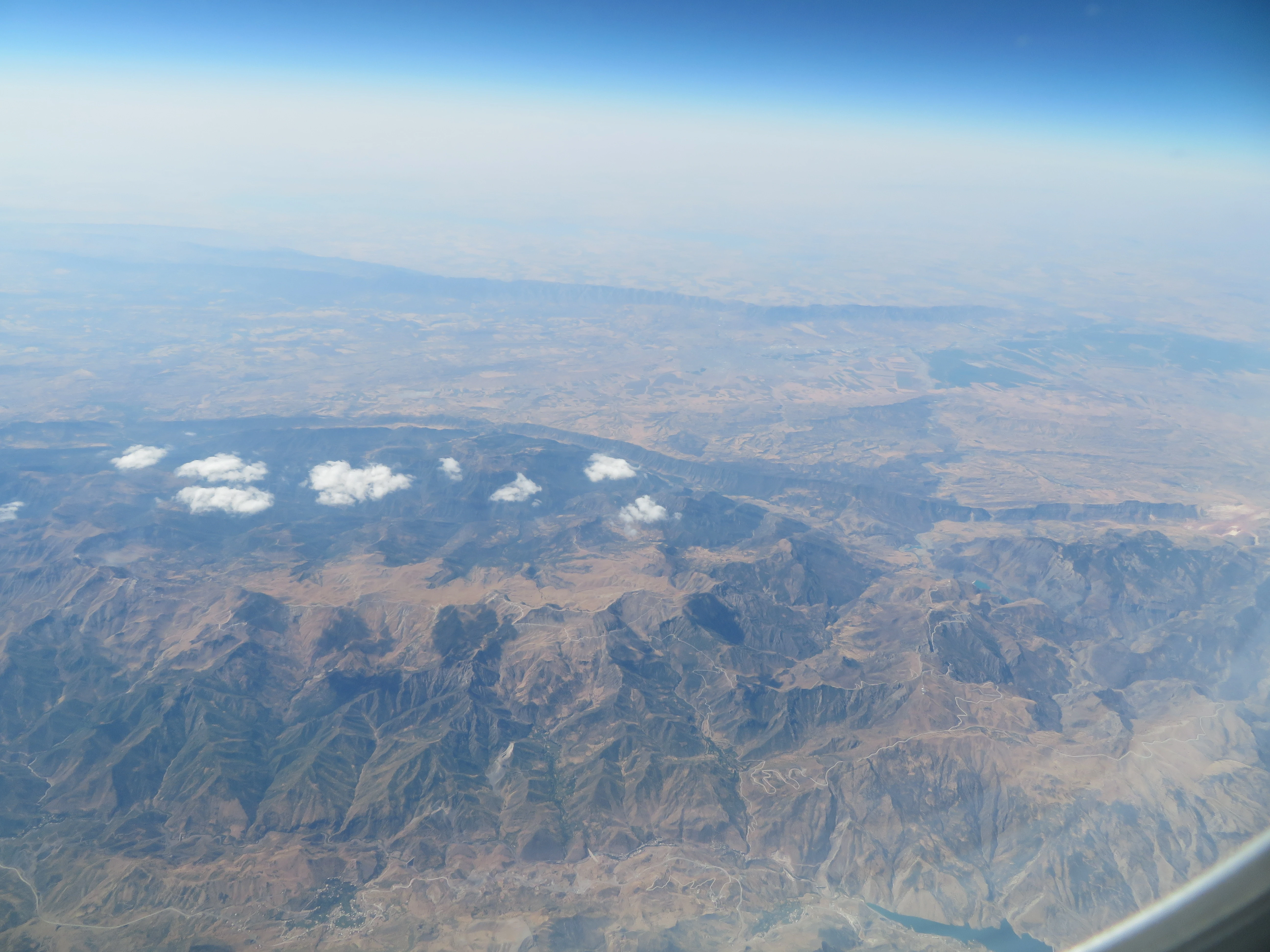
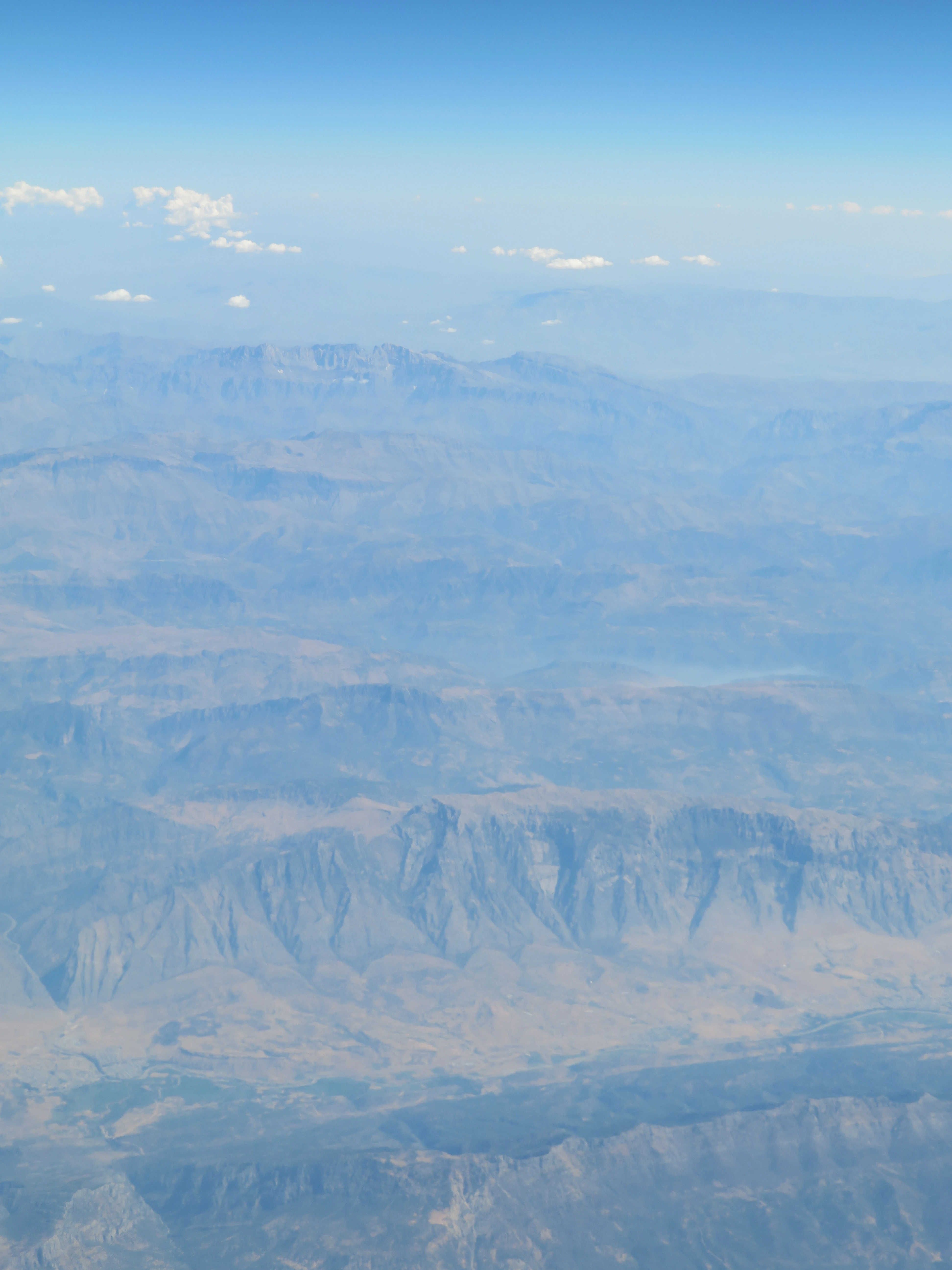
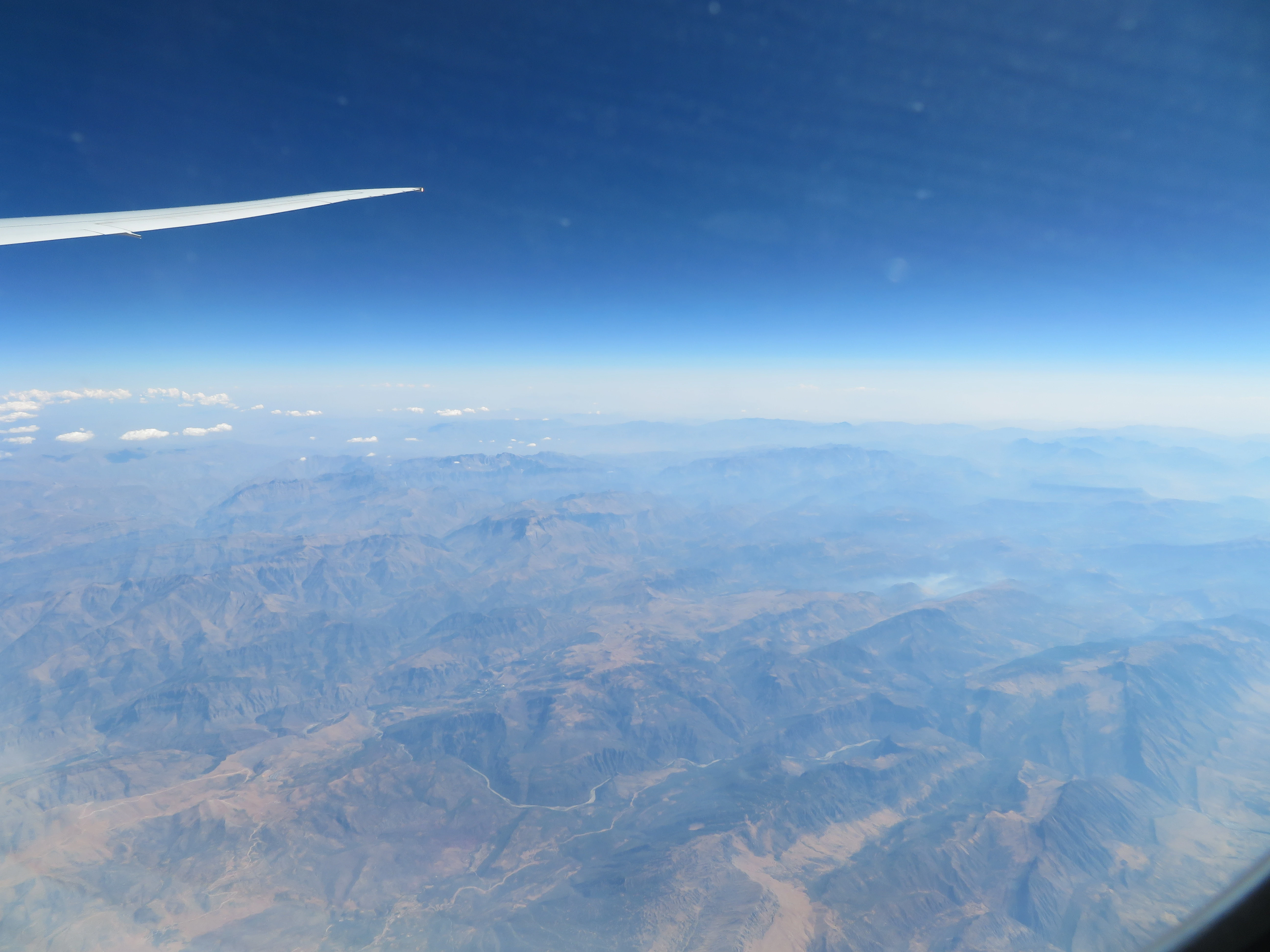
From the eastern side of the plane I could see the wondrous Zagros mountains which form Iraq’s natural border with Iran.
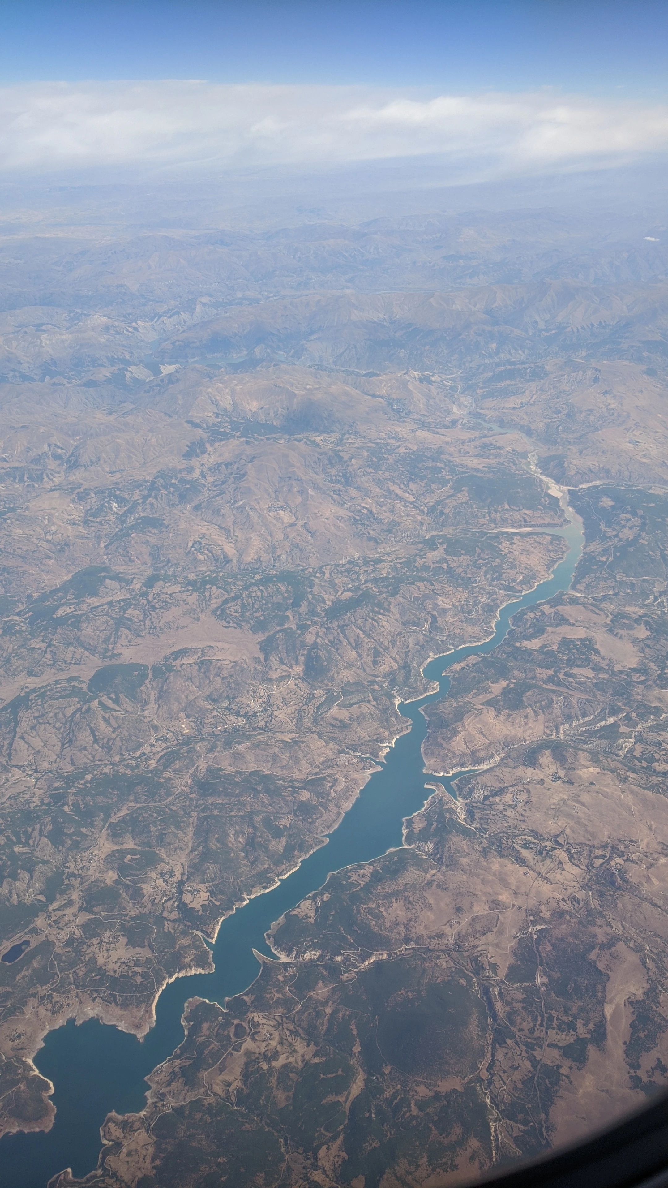
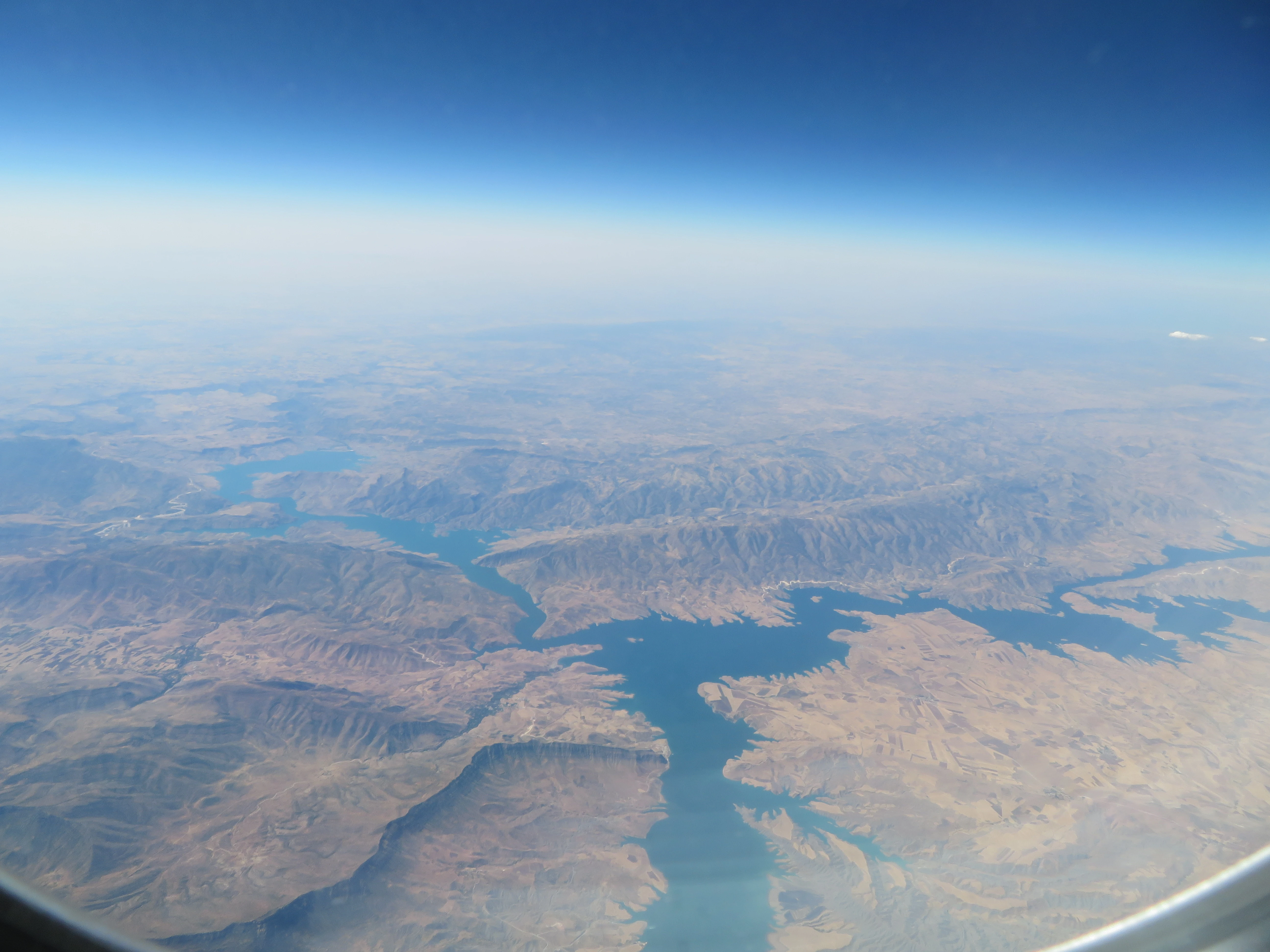
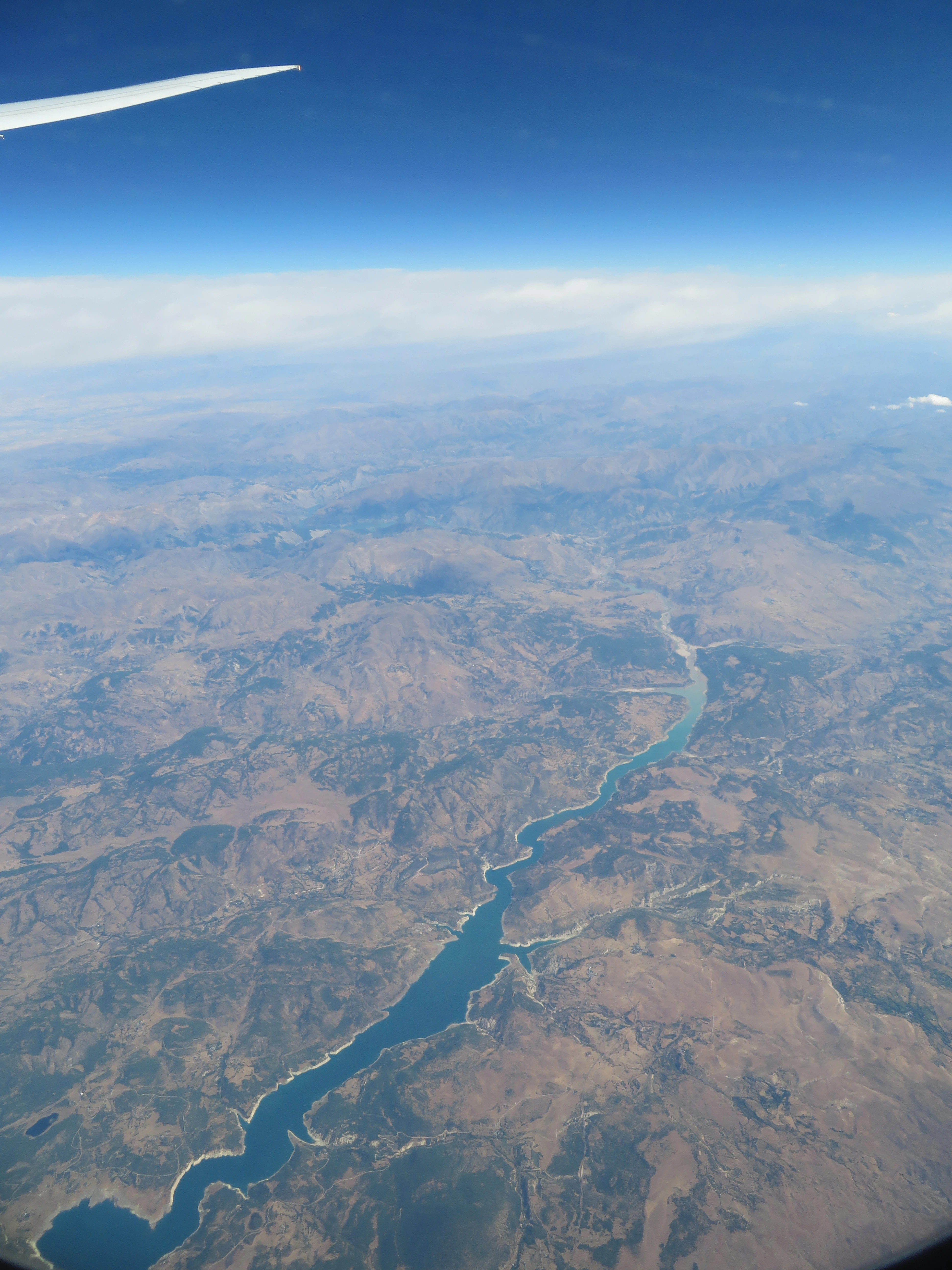
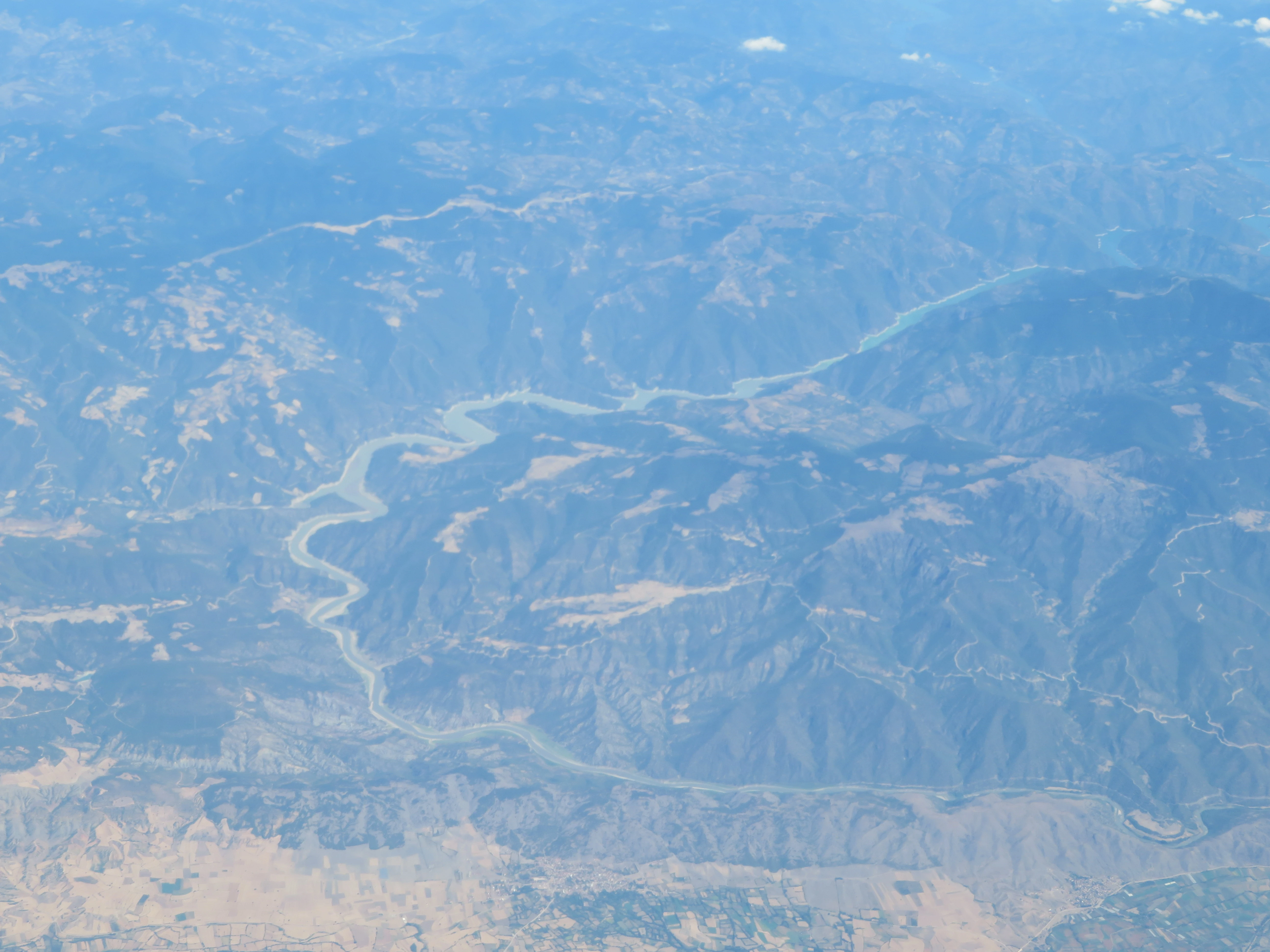
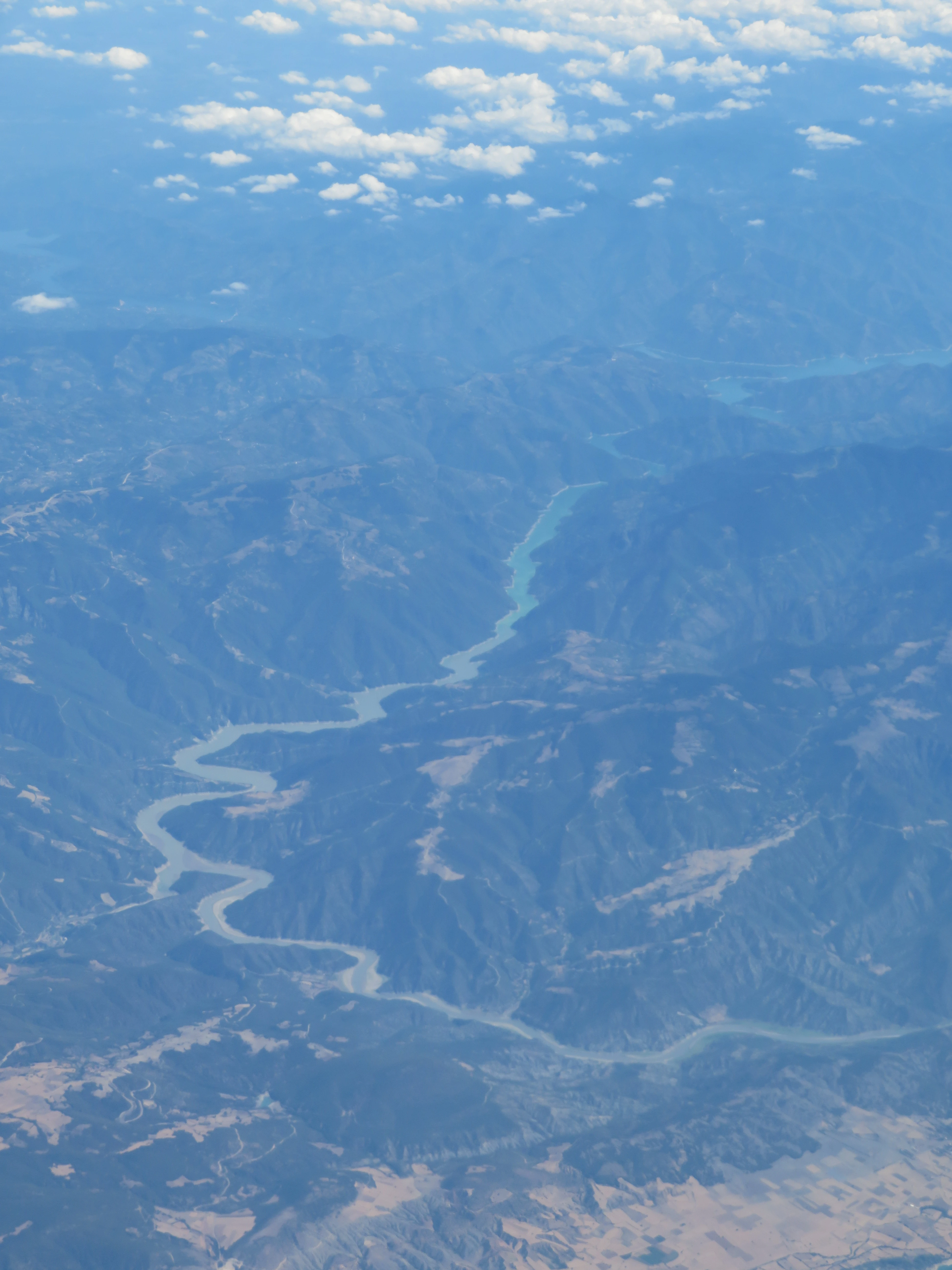
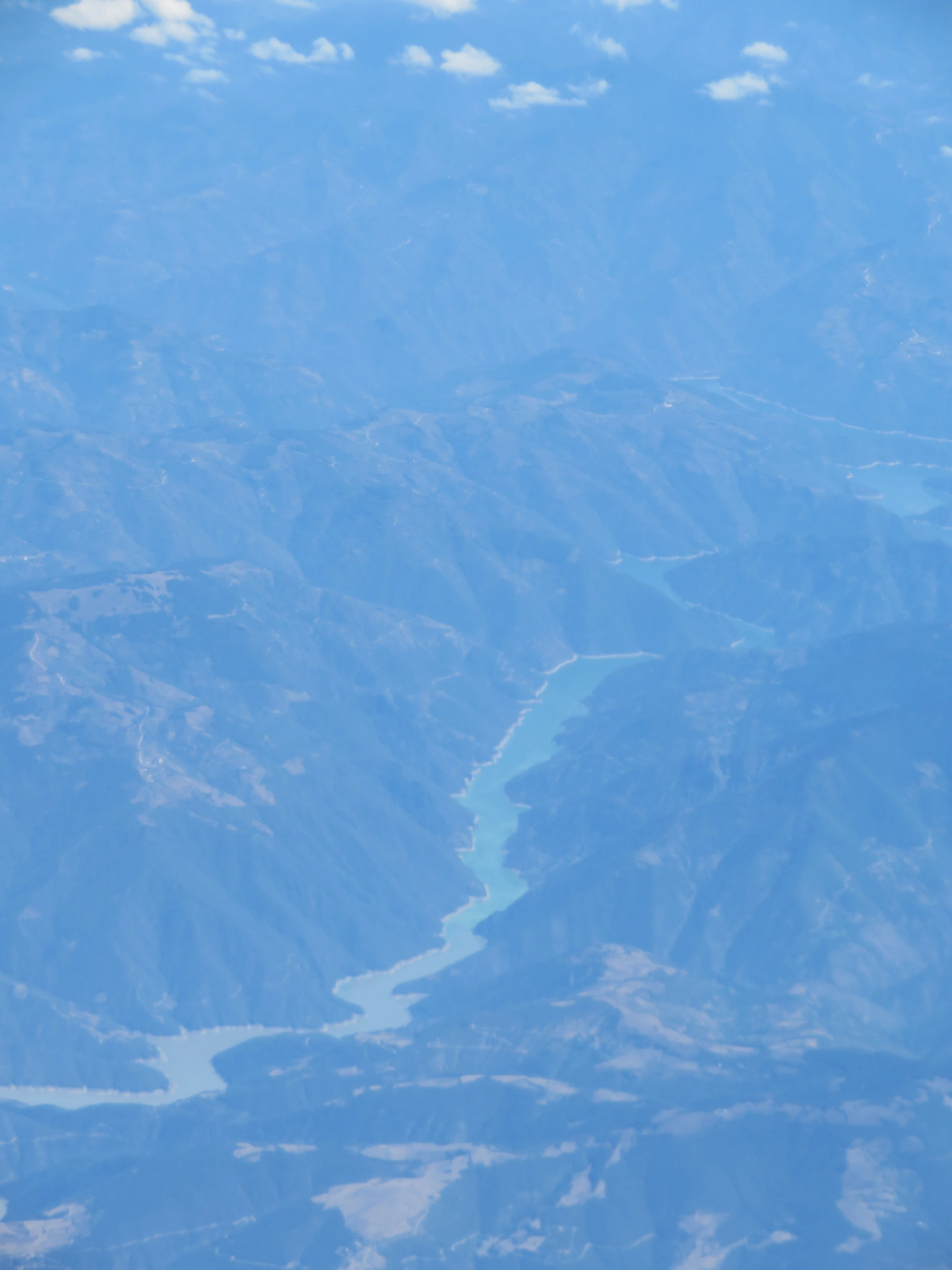
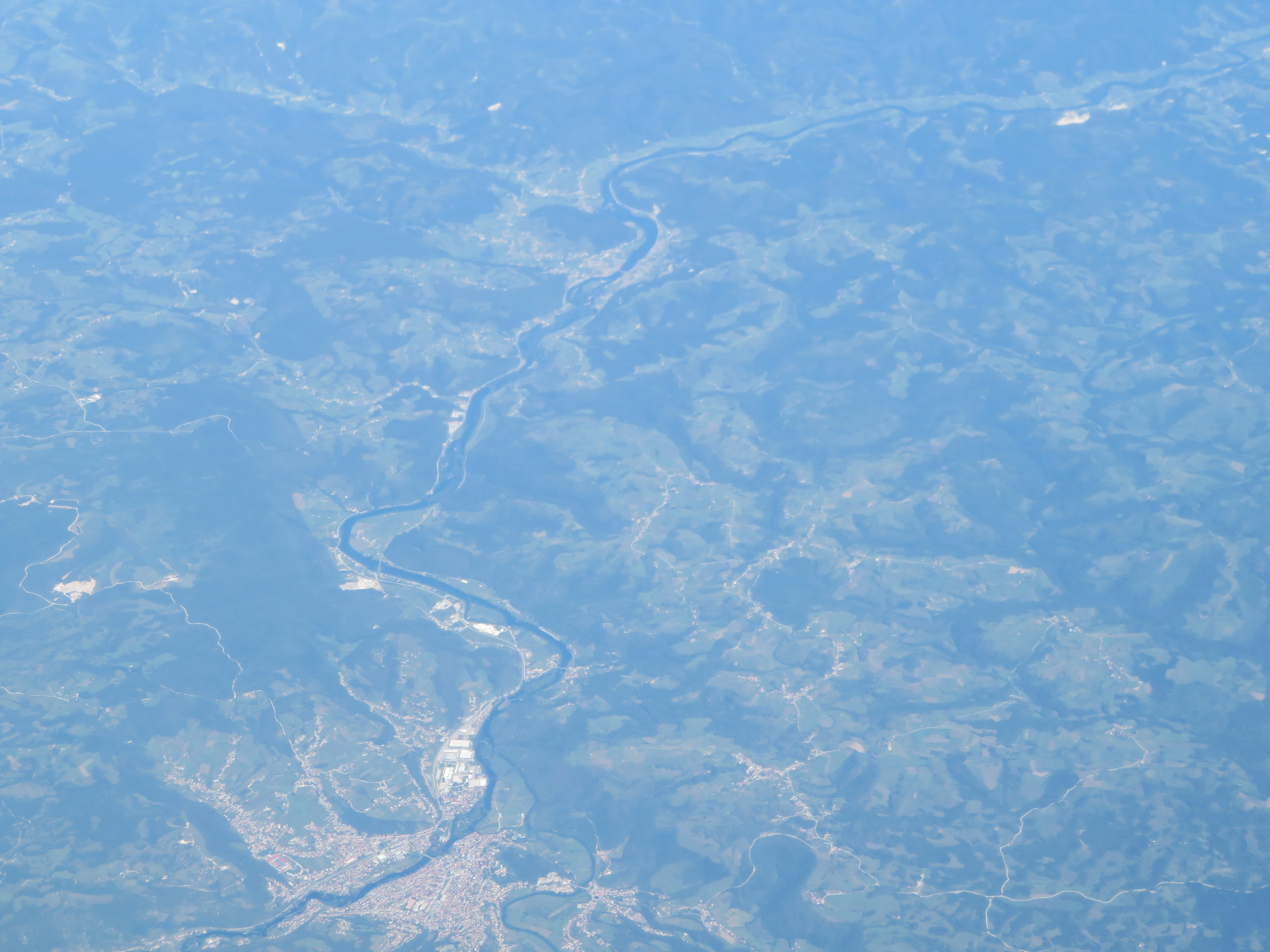
The flight above Turkey was fantastic, as the landscapes here were simply stunning.
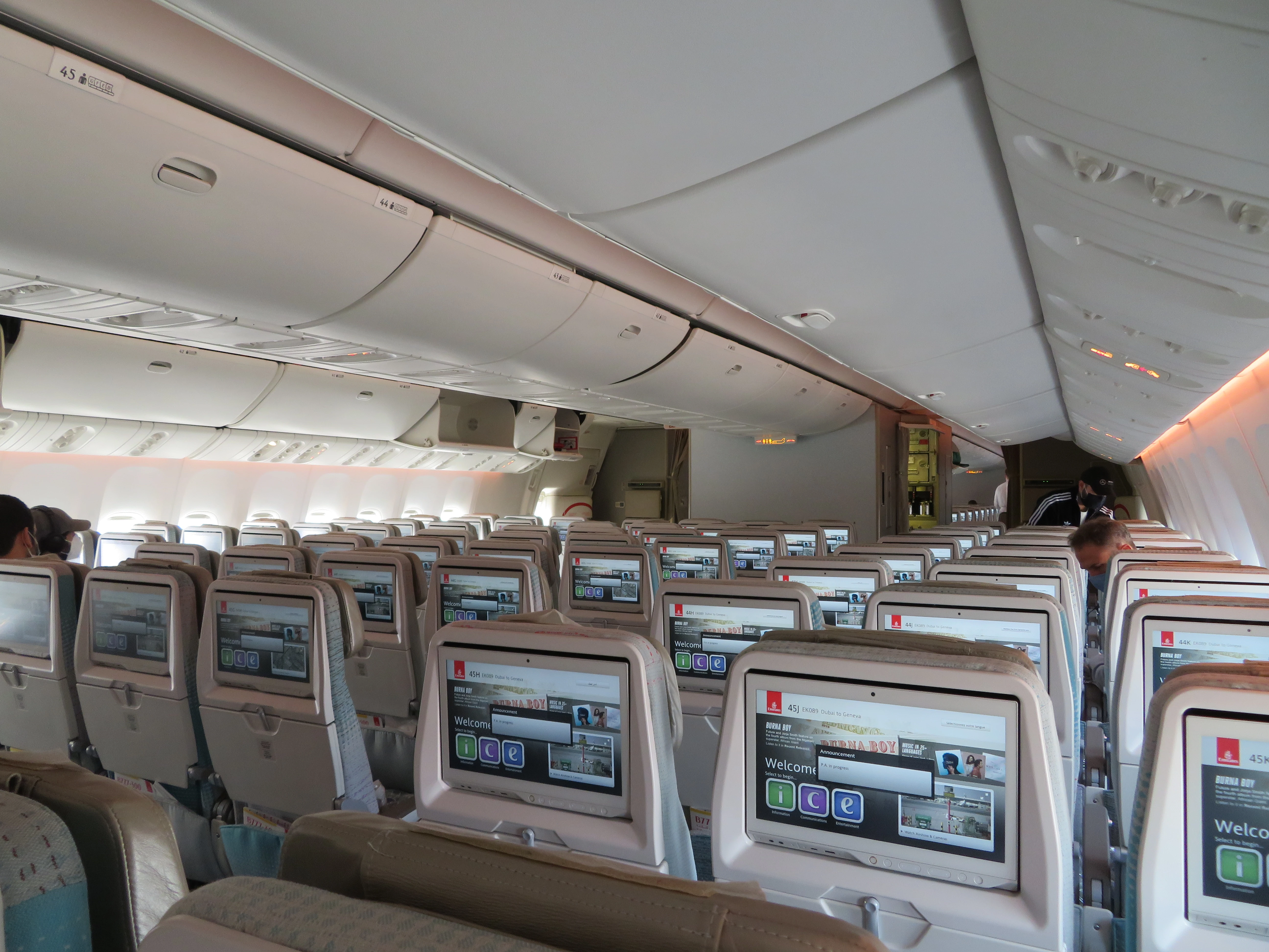
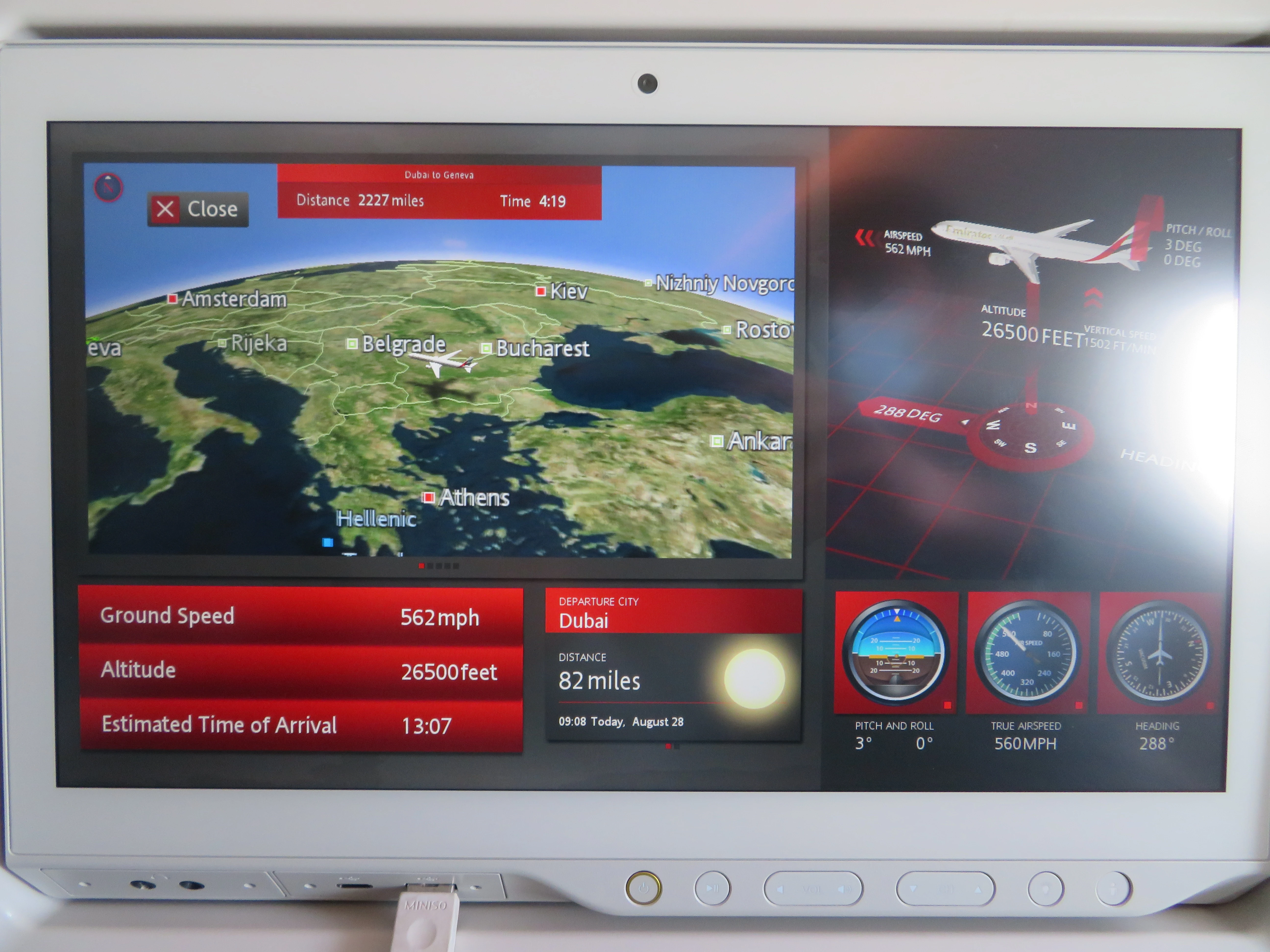
And then we finally entered Europe. I could not take many photos here since it was very cloudy. The inflight entertainment system in Emirates provided some really useful information regarding the flight, including its current location, speed, altitude, etc. It even allowed displaying video from two outer cameras (although these are not helpful when it’s cloudy).
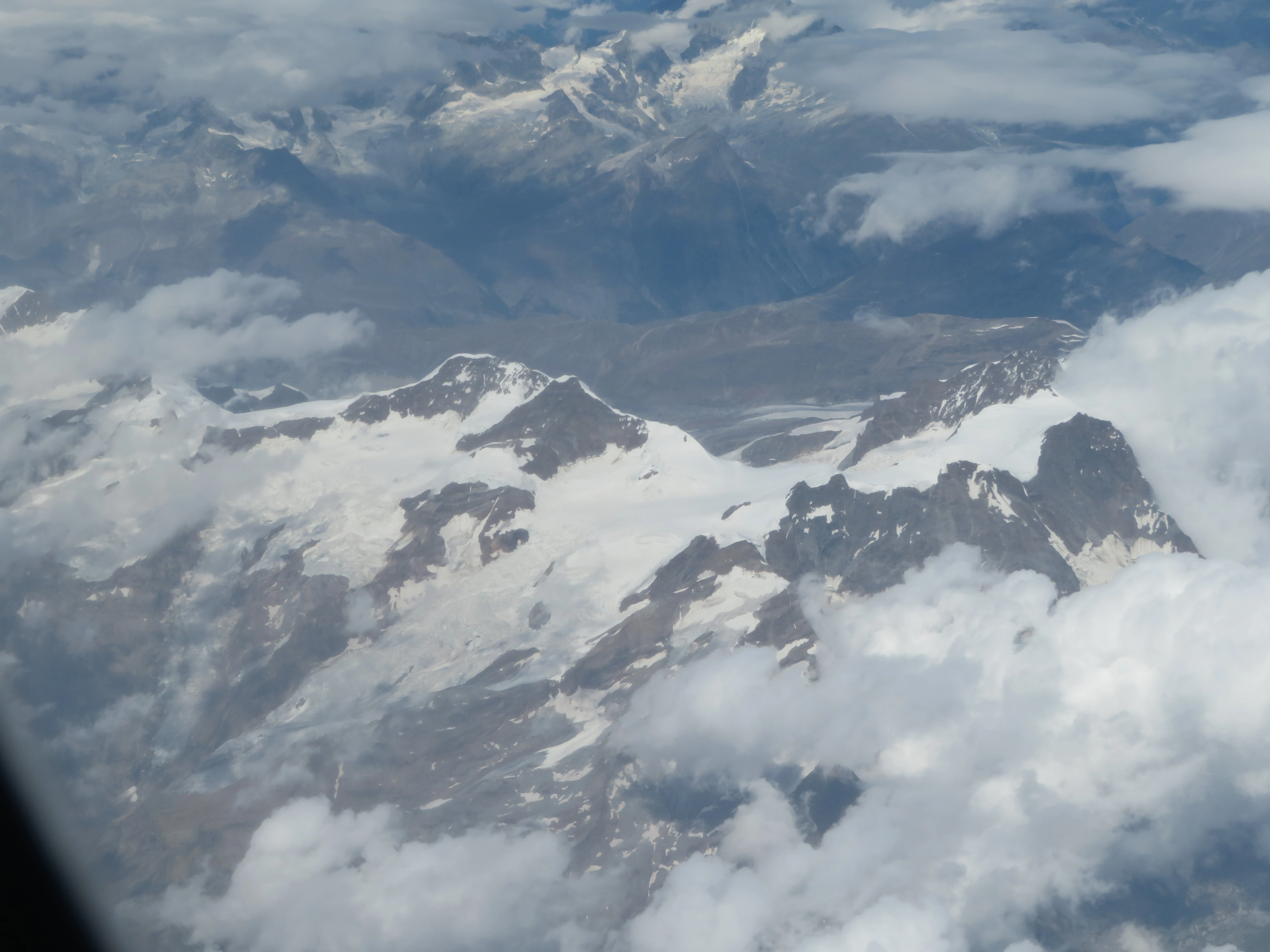
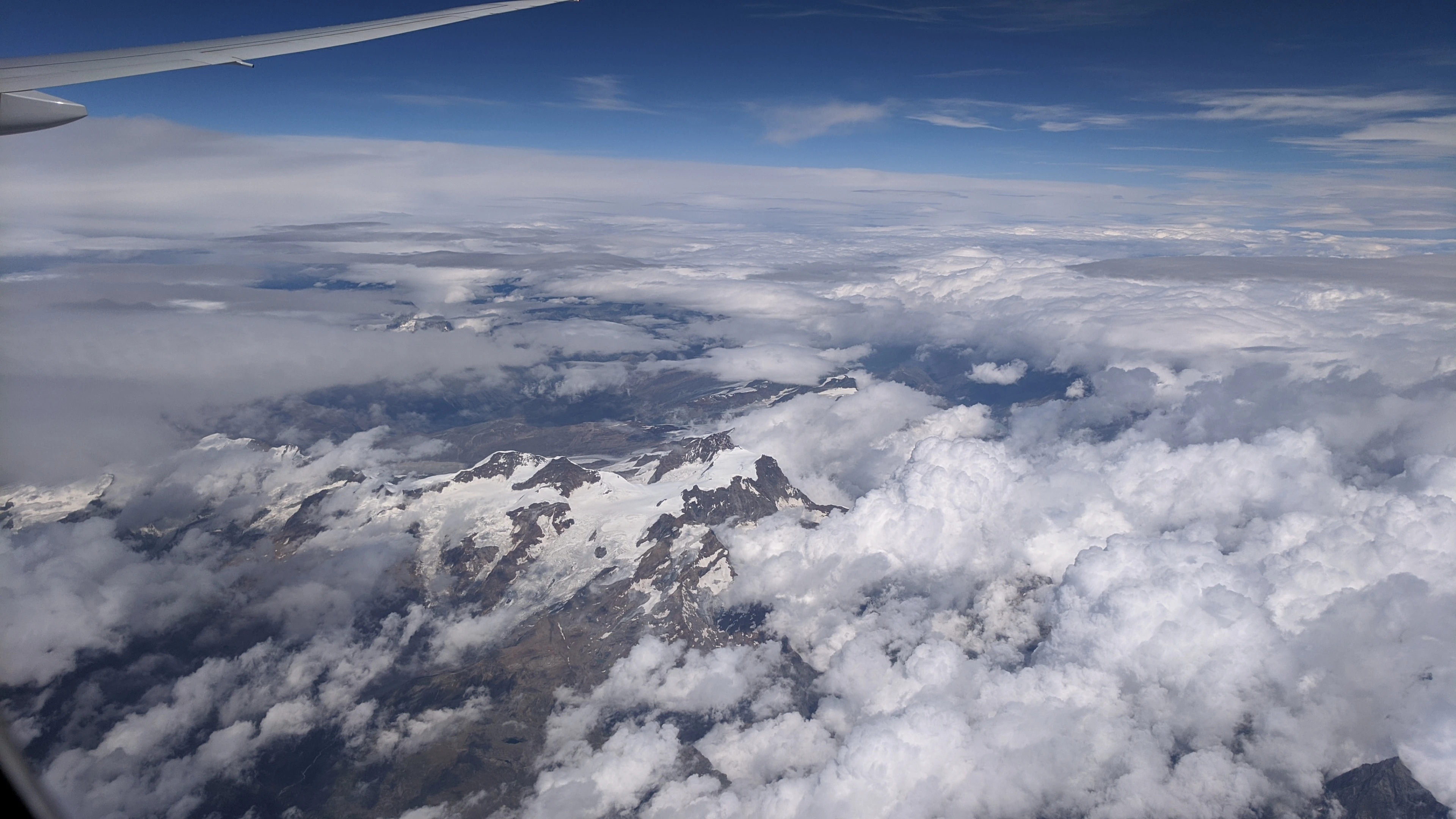
I did manage to take a nice picture of the amazing Alps before they were hidden beneath the clouds.
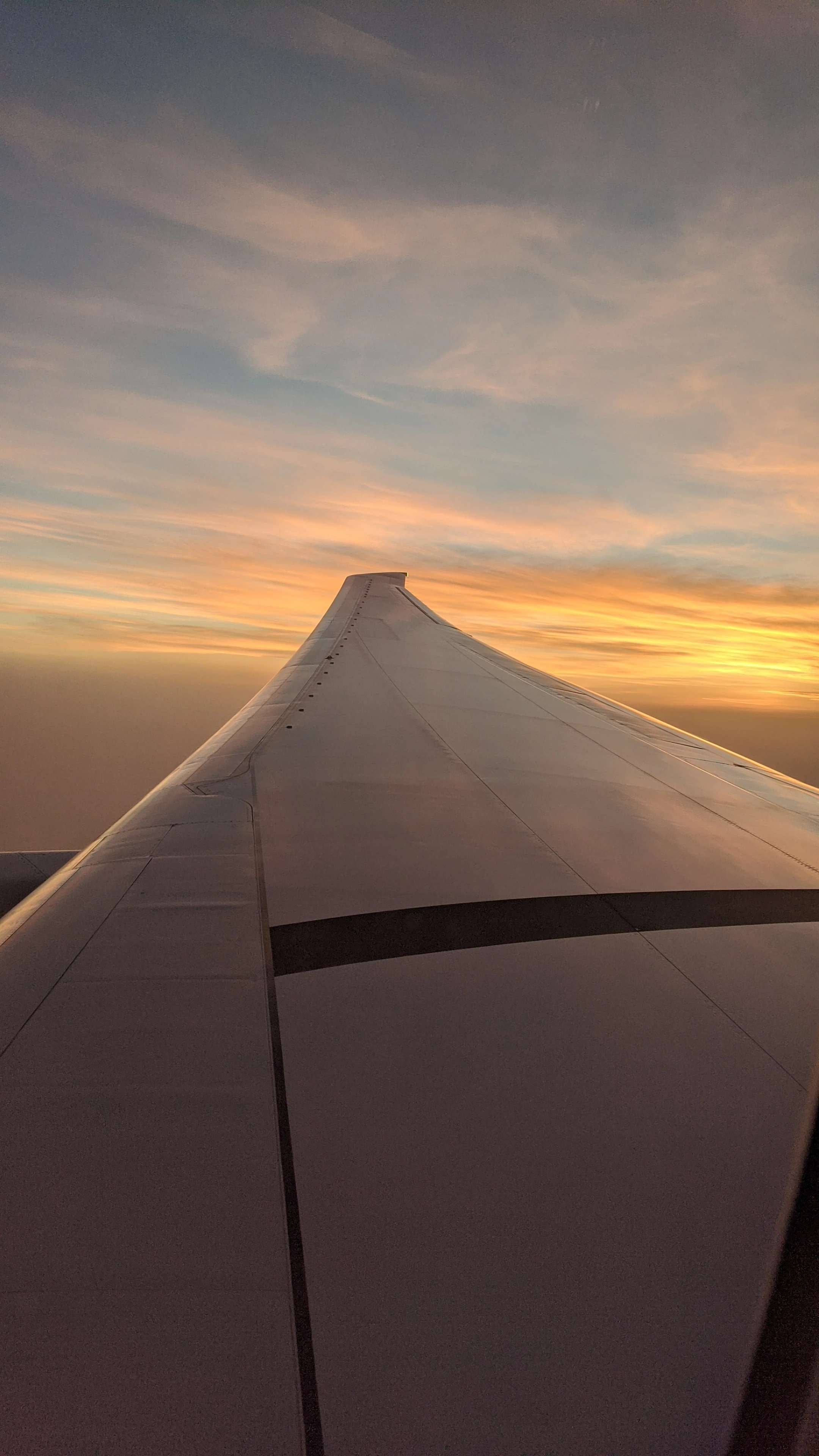
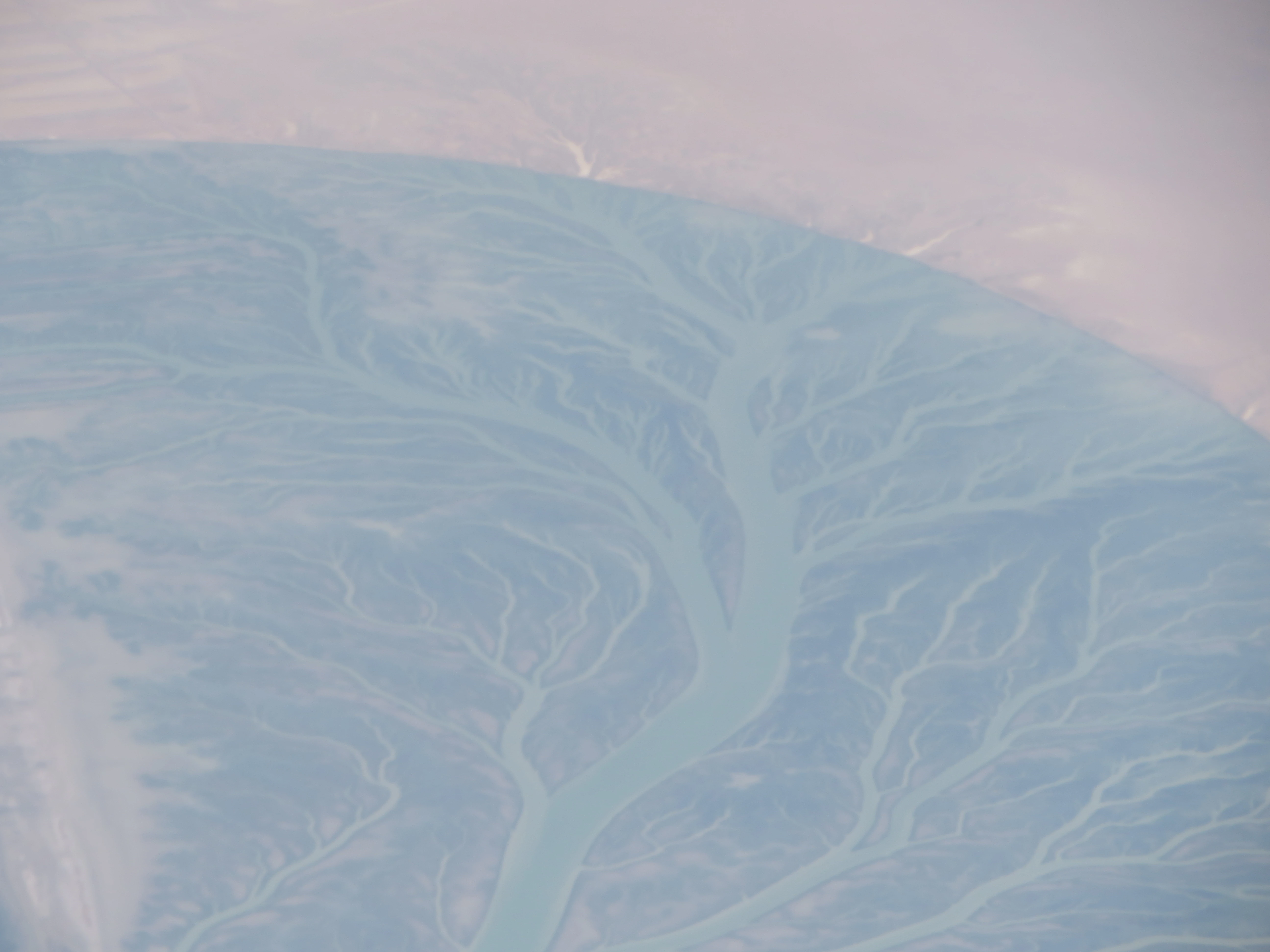
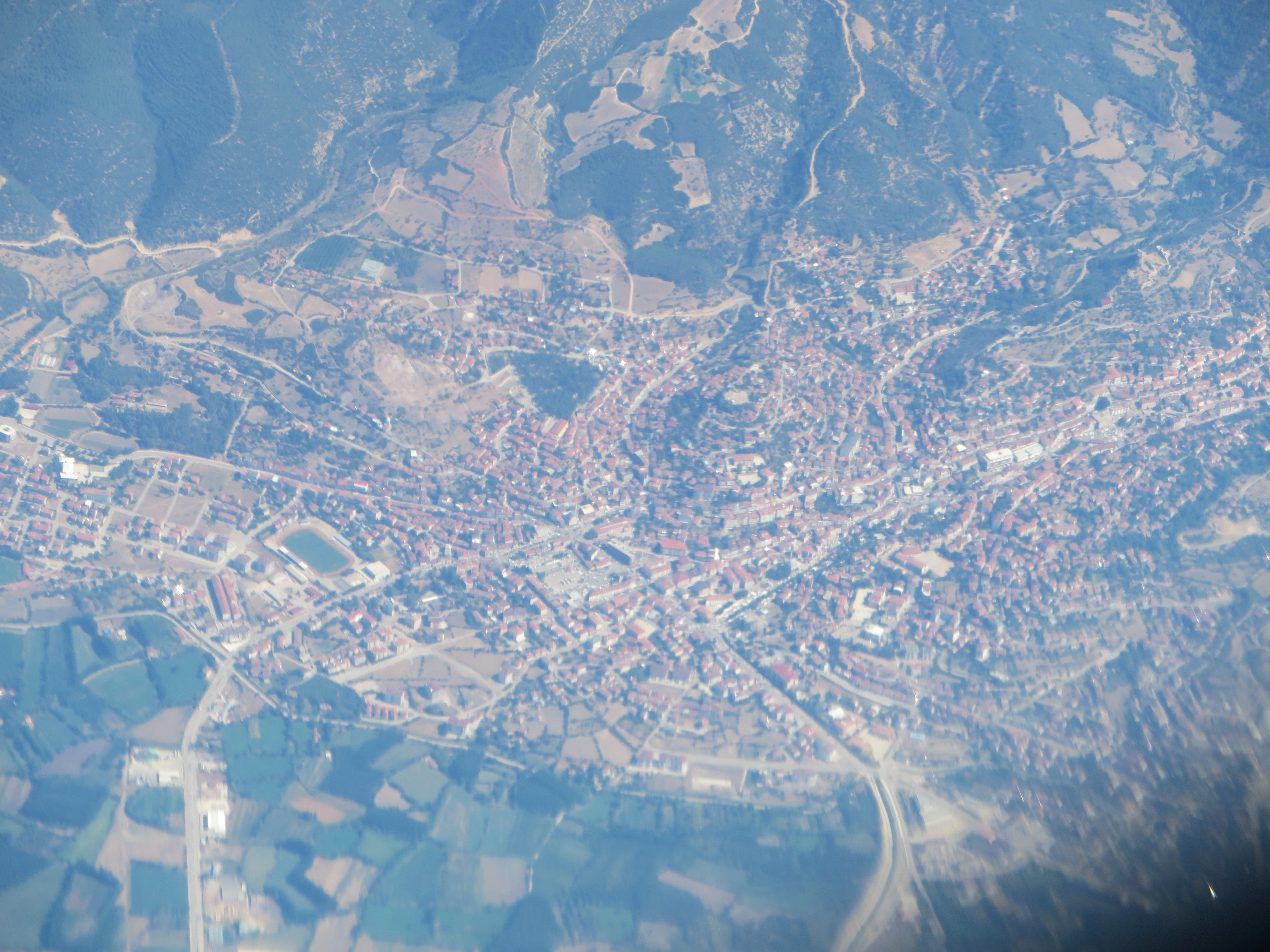
Some more pictures from the flight.